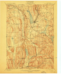
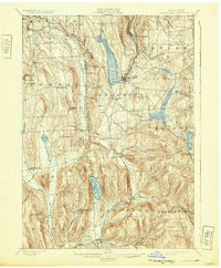
1899 Map of Cazenovia
USGS Topo · Published 1912About this map
Cazenovia Lake anchors this Central New York landscape, which at the turn of the century was defined by a complex intersection of early rail lines and water management systems. The West Shore R. R. and Lehigh Valley R. R. cut through the undulating hills of Madison and Onondaga Counties, serving established villages like Cazenovia and New Woodstock. The mapping reveals a rural economy shifting from timber and stone extraction—evidenced by Stone Quarry Hill—to a more settled agricultural pattern.
Find a feature on this map
63 named features on this map. Tap any name to fly to it.
Don’t see what you’re looking for? This feature index may not catch every label — zoom into the map to look around manually.
Map Details
Editions of this 1899 Cazenovia Map
7 editions found

Other maps of this area

1895 · Chittenango
USGS Topo · 1:62,500

1895 · Syracuse
USGS Topo · 1:62,500

1895 · Oneida
USGS Topo · 1:62,500

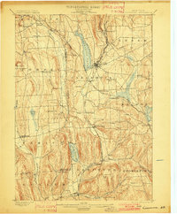
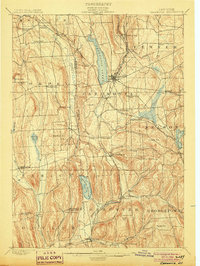
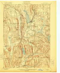
1897 · Cazenovia
USGS Topo · 1:62,500

1898 · Oneida
USGS Topo · 1:62,500

1898 · Syracuse
USGS Topo · 1:62,500

1898 · Chittenango
USGS Topo · 1:62,500

1899 · Cazenovia
USGS Topo · 1:62,500

1900 · Tully
USGS Topo · 1:62,500

1902 · Chittenango
USGS Topo · 1:62,500