
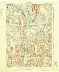
1899 Map of Cazenovia
USGS Topo · Published 1938About this map
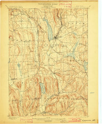
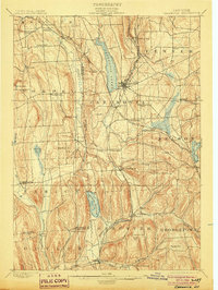
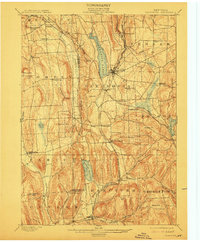
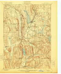
Cazenovia serves as the focal point of this late 19th-century landscape, where the waters of Cazenovia Lake drain north toward the dramatic Chittenango Falls. The topography is defined by the steep-sided ridges of the Appalachian Plateau, where many settlements like New Woodstock and Erieville established themselves along high-elevation gaps and stream valleys. The map illustrates a mature 1890s transport network, including the West Shore R. R. and the Lehigh Valley R. R., which navigated the difficult terrain to connect these upland communities.
Find a feature on this map
65 named features on this map. Tap any name to fly to it.
Don’t see what you’re looking for? This feature index may not catch every label — zoom into the map to look around manually.
Map Details
Editions of this 1899 Cazenovia Map
7 editions found
Other maps of this area

1895 · Chittenango
USGS Topo · 1:62,500

1895 · Syracuse
USGS Topo · 1:62,500

1895 · Oneida
USGS Topo · 1:62,500

1897 · Cazenovia
USGS Topo · 1:62,500

1898 · Oneida
USGS Topo · 1:62,500

1898 · Syracuse
USGS Topo · 1:62,500

1898 · Chittenango
USGS Topo · 1:62,500

1899 · Cazenovia
USGS Topo · 1:62,500

1900 · Tully
USGS Topo · 1:62,500

1902 · Chittenango
USGS Topo · 1:62,500