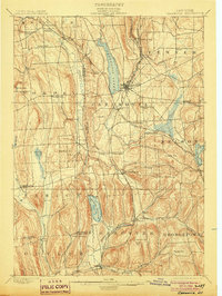
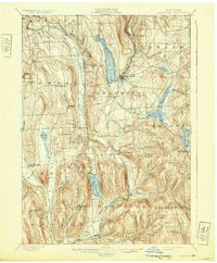
1899 Map of Cazenovia
USGS Topo · Published 1903About this map
Cazenovia Lake sits at the center of this 1897 survey, surrounded by the steep drumlins and valleys of Madison and Onondaga Counties. The landscape is defined by its transition from high hills like Indian Hill and Stockham Hill down into the productive dairy and farming lands of the late nineteenth century. The region's early water-driven industry is evident at Chittenango Falls and Edwards Falls, while massive waterworks like the DeRuyter Reservoir and Erieville Reservoir demonstrate the infrastructure needed to support the canal system and regional mills.
Find a feature on this map
63 named features on this map. Tap any name to fly to it.
Don’t see what you’re looking for? This feature index may not catch every label — zoom into the map to look around manually.
Map Details
Editions of this 1899 Cazenovia Map
7 editions found
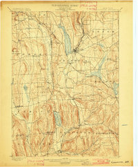
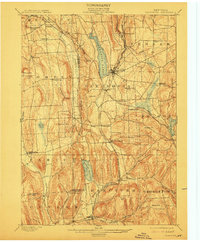
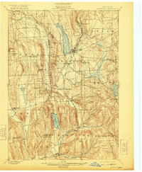

Other maps of this area

1895 · Chittenango
USGS Topo · 1:62,500

1895 · Syracuse
USGS Topo · 1:62,500

1895 · Oneida
USGS Topo · 1:62,500

1897 · Cazenovia
USGS Topo · 1:62,500

1898 · Oneida
USGS Topo · 1:62,500

1898 · Syracuse
USGS Topo · 1:62,500

1898 · Chittenango
USGS Topo · 1:62,500

1899 · Cazenovia
USGS Topo · 1:62,500

1900 · Tully
USGS Topo · 1:62,500

1902 · Chittenango
USGS Topo · 1:62,500