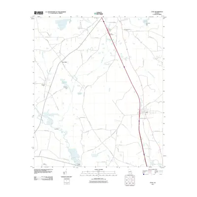
2011 Map of Cecil
USGS Topo · Published 2011About this map
Jerusalem Cemetery stands near the intersection of the modern interstate and Cecil, a settlement that serves as a focal point for this Cook County landscape. The area is defined by the winding course of the Little River and its numerous tributaries, including Wells Mill Creek and Franks Creek. These watercourses are punctuated by small-scale impoundments like Smith Lake and Whitehurst Pond, reflecting the agricultural and drainage patterns of the coastal plain.
Find a feature on this map
56 named features on this map. Tap any name to fly to it.
Don’t see what you’re looking for? This feature index may not catch every label — zoom into the map to look around manually.
Map Details
Editions of this 2011 Cecil Map
This is the sole edition of this map. No revisions or reprints were ever made.
Other maps of this area

1953 · Waycross
USGS Topo · 1:250,000

1954 · Valdosta
USGS Topo · 1:250,000

1958 · Valdosta
USGS Topo · 1:250,000

1958 · Waycross
USGS Topo · 1:250,000

1959 · Valdosta
USGS Topo · 1:250,000

1961 · Hahira East
USGS Topo · 1:24,000

1961 · Quitman
USGS Topo · 1:62,500

1961 · Hahira West
USGS Topo · 1:24,000

1973 · Adel
USGS Topo · 1:24,000

1973 · New Lois
USGS Topo · 1:24,000