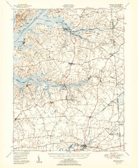
1951 Map of Cecilton
USGS Topo · Published 1951About this map
Deep peninsulas known as necks define the landscape of the upper Eastern Shore in this mid-century survey. The massive Sassafras River and Bohemia River carve through the terrain, creating distinct geographic pockets like Pearce Neck and Town Point Neck. This coastal orientation shaped the early development of the region, visible here in the distribution of historic manors and parish churches. The legacy of colonial-era land grants is anchored by Bohemia Manor near the confluence of the Great Bohemia Creek and Little Bohemia Creek.
Find a feature on this map
104 named features on this map. Tap any name to fly to it.
Don’t see what you’re looking for? This feature index may not catch every label — zoom into the map to look around manually.
Map Details
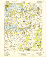
Editions of this 1951 Cecilton Map
2 editions found
Other maps of this area

1898 · Elkton
USGS Topo · 1:62,500

1898 · Tolchester
USGS Topo · 1:125,000

1899 · Dover
USGS Topo · 1:125,000

1900 · Elkton
USGS Topo · 1:62,500

1900 · Cecilton
USGS Topo · 1:62,500

1900 · Havre De Grace
USGS Topo · 1:62,500

1900 · Betterton
USGS Topo · 1:62,500

1901 · Chestertown
USGS Topo · 1:62,500

1903 · Tolchester
USGS Topo · 1:125,000

1904 · Wilmington
USGS Topo · 1:62,500