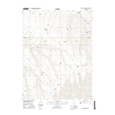
2017 Map of Cedar Camp Canyon
USGS Topo · Published 2017About this map
Willow Flats and the high desert plateaus of eastern Utah are defined here by a complex network of canyons and ridges along the Uintah and Grand County line. This 2017 survey details the dramatic verticality of the Book Cliffs region, where drainage patterns like Meadow Cr cut through named formations such as Little Asphalt Ridge and Pretty Valley Ridge. The map identifies critical water sources in an otherwise arid landscape, including Cedar Camp Spring and Shale Spring. Evidence of high-altitude travel and land management is visible through labels like Three Pines and a series of rugged access points including Moon Ridge Rd and Book Cliff Ridge Rd. The landscape is further characterized by distinct flatlands elevated above the drainages, such as Cherry Mesa and Rock Spring Mesa, which stand in contrast to the deep recesses of Cedar Camp Canyon and Snowshoe Canyon.
Find a feature on this map
35 named features on this map. Tap any name to fly to it.
Don’t see what you’re looking for? This feature index may not catch every label — zoom into the map to look around manually.
Map Details
Editions of this 2017 Cedar Camp Canyon Map
This is the sole edition of this map. No revisions or reprints were ever made.
Other maps of this area
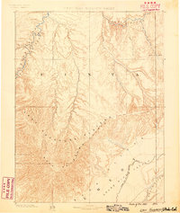
1885 · East Tavaputs
USGS Topo · 1:250,000

1956 · Grand Junction
USGS Topo · 1:250,000

1959 · Grand Junction
USGS Topo · 1:250,000

1960 · Grand Junction
USGS Topo · 1:250,000
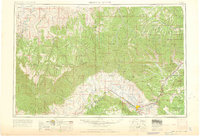
1962 · Grand Junction
USGS Topo · 1:250,000
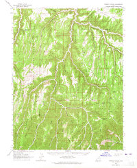
1963 · Tenmile Canyon
USGS Topo · 1:62,500
1964 · Grand Junction
USGS Topo · 1:250,000
1965 · Grand Junction
USGS Topo · 1:250,000
1966 · Seep Canyon
USGS Topo · 1:24,000
1966 · Wolf Point
USGS Topo · 1:24,000