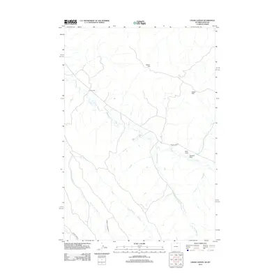
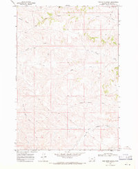
2012 Map of Cedar Canyon
USGS Topo · Published 2012About this map
N X Bar Ranch sits at the heart of this high-plains landscape in northern Wyoming, where the drainage network of the Badger Hills dictates the layout of local roads and land use. The 2012 topography illustrates a region defined by seasonal watercourses and ranching infrastructure, with significant arteries like Badger Creek Rd and Coutant Creek Rd following the natural contours of the land.
Find a feature on this map
13 named features on this map. Tap any name to fly to it.
Don’t see what you’re looking for? This feature index may not catch every label — zoom into the map to look around manually.
Map Details
Editions of this 2012 Cedar Canyon Map
This is the sole edition of this map. No revisions or reprints were ever made.
Other maps of this area
1909 · Sheridan
USGS Topo · 1:125,000
1911 · Sheridan
USGS Topo · 1:125,000

1954 · Hardin
USGS Topo · 1:250,000

1955 · Sheridan
USGS Topo · 1:250,000

1957 · Hardin
USGS Topo · 1:250,000

1958 · Hardin
USGS Topo · 1:250,000

1958 · Sheridan
USGS Topo · 1:250,000

1962 · Sheridan
USGS Topo · 1:250,000
1967 · Holmes Ranch
USGS Topo · 1:24,000
1967 · Pine Butte School
USGS Topo · 1:24,000