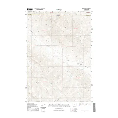
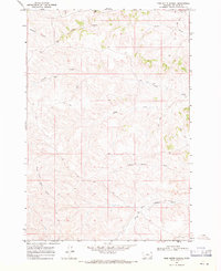
2015 Map of Cedar Canyon
USGS Topo · Published 2015About this map
Cedar Canyon and the Badger Hills dominate this high-plains landscape along the border of Sheridan County, Wyoming, and Big Horn County, Montana. The topography is defined by an intricate drainage system feeding into Badger Cr, including the Hill Prong Badger Cr and Little Badger Cr. This survey illustrates a sparsely populated ranching or grazing environment where the primary infrastructure consists of isolated routes like Badger Creek Rd and Cr-157. Named landmarks such as Riley Draw and Windmill Draw indicate the importance of water management and local terrain navigation in this remote borderland. The map provides a detailed view of the sectional divisions across six different townships, reflecting the original land-survey patterns that shaped this portion of the American West.
Find a feature on this map
19 named features on this map. Tap any name to fly to it.
Don’t see what you’re looking for? This feature index may not catch every label — zoom into the map to look around manually.
Map Details
Editions of this 2015 Cedar Canyon Map
This is the sole edition of this map. No revisions or reprints were ever made.
Other maps of this area
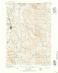
1909 · Sheridan
USGS Topo · 1:125,000
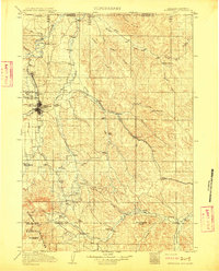
1911 · Sheridan
USGS Topo · 1:125,000

1954 · Hardin
USGS Topo · 1:250,000

1955 · Sheridan
USGS Topo · 1:250,000

1957 · Hardin
USGS Topo · 1:250,000

1958 · Hardin
USGS Topo · 1:250,000

1958 · Sheridan
USGS Topo · 1:250,000

1962 · Sheridan
USGS Topo · 1:250,000
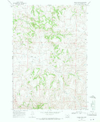
1967 · Holmes Ranch
USGS Topo · 1:24,000
1967 · Pine Butte School
USGS Topo · 1:24,000