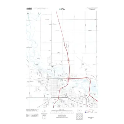
2013 Map of Cedar Falls
USGS Topo · Published 2013About this map
The Cedar River flows through this detailed survey, shaping the development of the Cedar Falls and Waterloo corridor in the early 2010s. The landscape is a mix of academic institutions, suburban growth, and riverine recreation. The expansive campus of the University of Northern Iowa dominates the southern portion of the sheet, while the Waterloo Municipal Airport anchors the eastern edge. Along the river, several islands like Deadmans Island and Blackwood Island interrupt the main channel, which is flanked by the Washington Park Golf Course and the waters of George Wyth Lake.
Find a feature on this map
132 named features on this map. Tap any name to fly to it.
Don’t see what you’re looking for? This feature index may not catch every label — zoom into the map to look around manually.
Map Details
Editions of this 2013 Cedar Falls Map
This is the sole edition of this map. No revisions or reprints were ever made.
Other maps of this area
1954 · Waterloo
USGS Topo · 1:250,000
1955 · Waterloo
USGS Topo · 1:250,000
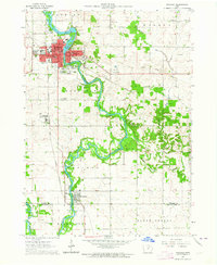
1963 · Waverly
USGS Topo · 1:24,000
1963 · Denver
USGS Topo · 1:24,000
1963 · Hudson
USGS Topo · 1:24,000
1963 · Waterloo South
USGS Topo · 1:24,000
1963 · Cedar Falls
USGS Topo · 1:24,000
1963 · Waterloo North
USGS Topo · 1:24,000
1971 · Zaneta
USGS Topo · 1:24,000
1971 · Shell Rock
USGS Topo · 1:24,000