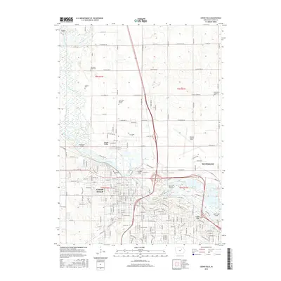
2015 Map of Cedar Falls
USGS Topo · Published 2015About this map
The Cedar River carves a winding path through this urban and agricultural landscape, separating the established neighborhoods of Cedar Falls and Waterloo. The river's influence is clear in the numerous oxbow lakes and wetlands that dot the valley, including George Wyth Lake and Fisher Lake within George Wyth Memorial State Park. Away from the river, the transition to the upland plains is marked by a dense grid of cemeteries such as Washington Chapel Cem and Highland Cem, serving as quiet landmarks for local genealogists.
Find a feature on this map
73 named features on this map. Tap any name to fly to it.
Don’t see what you’re looking for? This feature index may not catch every label — zoom into the map to look around manually.
Map Details
Editions of this 2015 Cedar Falls Map
This is the sole edition of this map. No revisions or reprints were ever made.
Other maps of this area
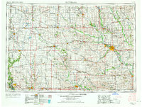
1954 · Waterloo
USGS Topo · 1:250,000
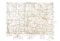
1955 · Waterloo
USGS Topo · 1:250,000
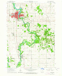
1963 · Waverly
USGS Topo · 1:24,000
1963 · Denver
USGS Topo · 1:24,000
1963 · Hudson
USGS Topo · 1:24,000
1963 · Waterloo South
USGS Topo · 1:24,000
1963 · Cedar Falls
USGS Topo · 1:24,000
1963 · Waterloo North
USGS Topo · 1:24,000
1971 · Zaneta
USGS Topo · 1:24,000
1971 · Shell Rock
USGS Topo · 1:24,000