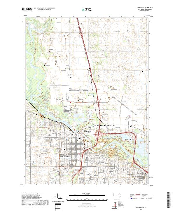
2022 Map of Cedar Falls
USGS Topo · Published 2022About this map
Cedar Falls and Waterloo serve as the urban anchors of this Black Hawk County landscape, where the Cedar River carves a path through a dense network of trails and parklands. The mid-2022 geography highlights a sophisticated recreational infrastructure, including the Big Woods Trl and the Perimeter Trl encircling George Wyth Lake. The sprawling campus of the University of Northern Iowa dominates the southwest quadrant, while the Waterloo Regional Airport occupies the northeastern reaches.
Find a feature on this map
73 named features on this map. Tap any name to fly to it.
Don’t see what you’re looking for? This feature index may not catch every label — zoom into the map to look around manually.
Map Details
Editions of this 2022 Cedar Falls Map
This is the sole edition of this map. No revisions or reprints were ever made.
Other maps of this area

1954 · Waterloo
USGS Topo · 1:250,000

1955 · Waterloo
USGS Topo · 1:250,000

1963 · Waverly
USGS Topo · 1:24,000

1963 · Denver
USGS Topo · 1:24,000

1963 · Hudson
USGS Topo · 1:24,000

1963 · Waterloo South
USGS Topo · 1:24,000

1963 · Cedar Falls
USGS Topo · 1:24,000

1963 · Waterloo North
USGS Topo · 1:24,000

1971 · Zaneta
USGS Topo · 1:24,000

1971 · Shell Rock
USGS Topo · 1:24,000