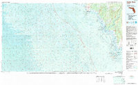
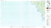
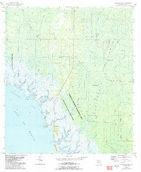
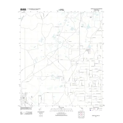
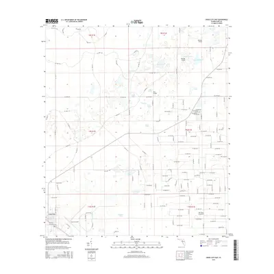
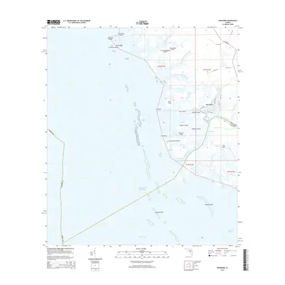
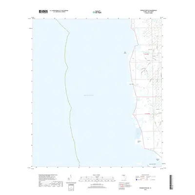
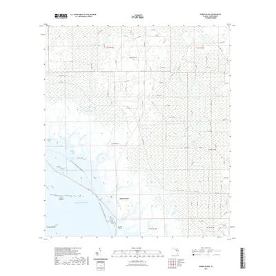
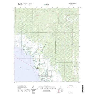
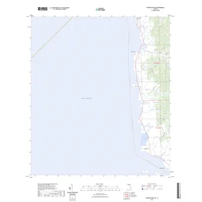
1978 Map of Cedar Keys
USGS Topo · Published 1985About this map
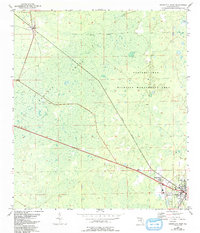
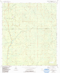
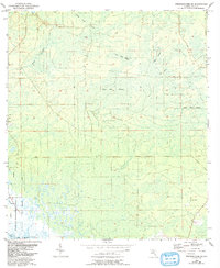
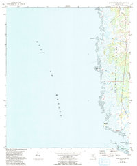
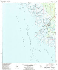
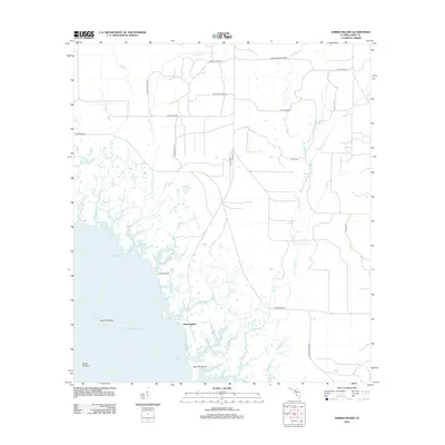
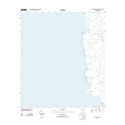
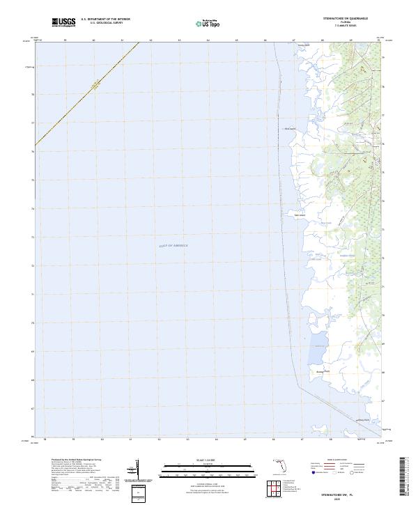
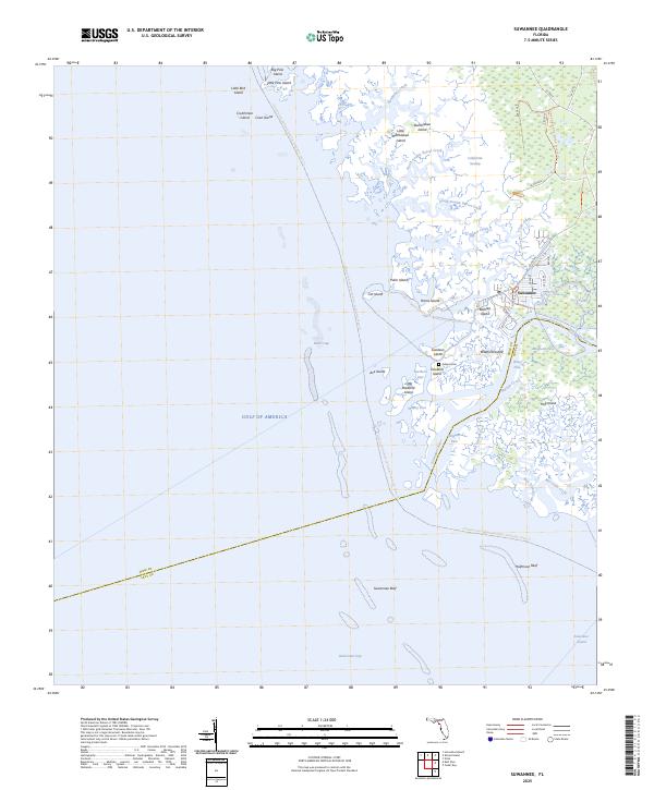
The Suwannee River flows into the Gulf of Mexico along this stretch of the Florida coastline, creating a complex landscape of coastal wetlands and offshore islands. This 1978 edition, which incorporates bathymetric data from the National Ocean Service, highlights the intricate waterways of Suwannee Sound and Waccasassa Bay. The settlement of Cedar Key serves as a primary hub among the various coastal keys, including Hog Island, Bradford Island, and Deer Island.
Find a feature on this map
222 named features on this map. Tap any name to fly to it.
Don’t see what you’re looking for? This feature index may not catch every label — zoom into the map to look around manually.
Map Details
Editions of this 1978 Cedar Keys Map
3 editions found
Historical Maps of Cedar Key Through Time
78 maps found
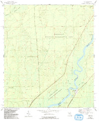
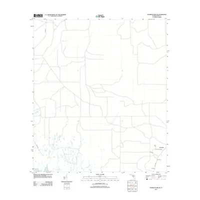
1954 Cross City East
Dixie County, FL
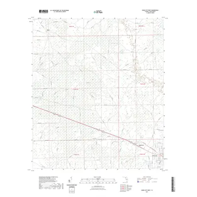
1954 Cross City SW
Dixie County, FL
1954 Cross City West
Dixie County, FL
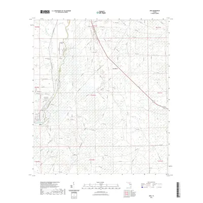
1954 Eugene
Dixie County, FL
1954 Jena
Dixie County, FL
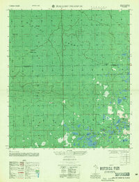
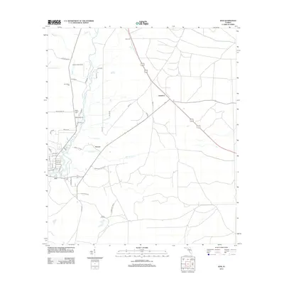
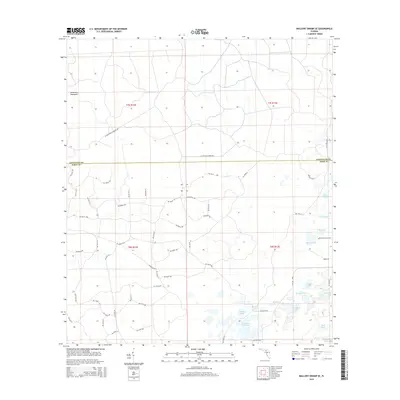
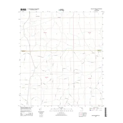
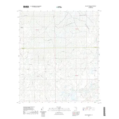
1954 Mallory Swamp SE
Dixie County, FL
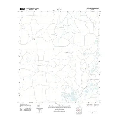
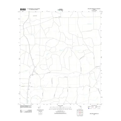
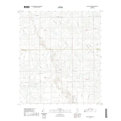
1954 Mallory Swamp SW
Dixie County, FL
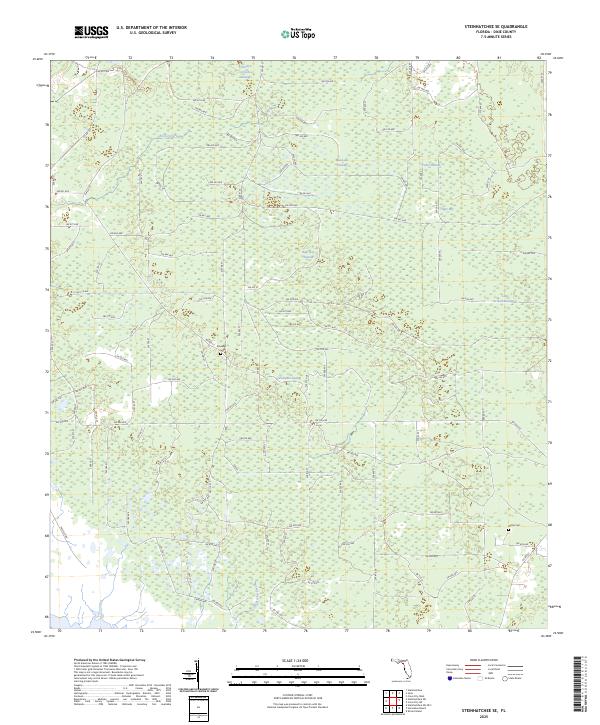
1954 Steinhatchee SE
Dixie County, FL
1954 Steinhatchee SW
Dixie County, FL
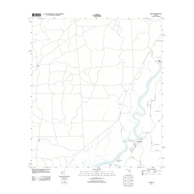
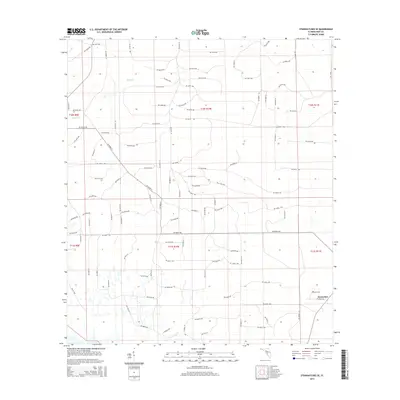
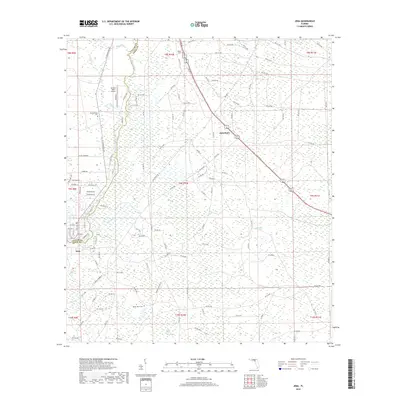
1954 Suwannee
Dixie County, FL
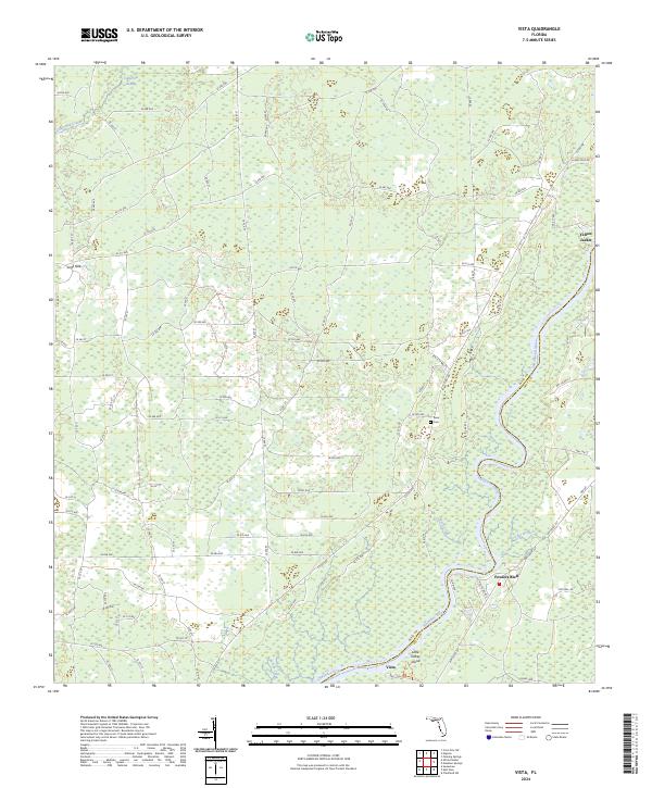
1954 Vista
Dixie County, FL
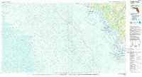
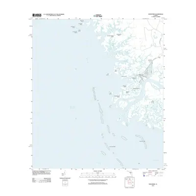
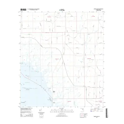
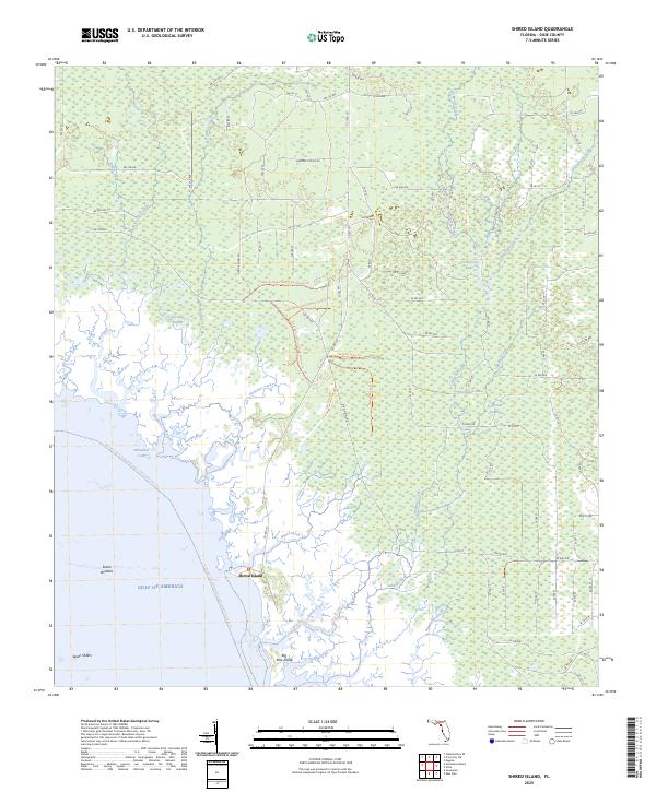
1955 Shired Island
Dixie County, FL
1956 Mallory Swamp SE
Dixie County, FL
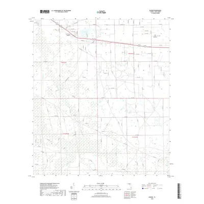
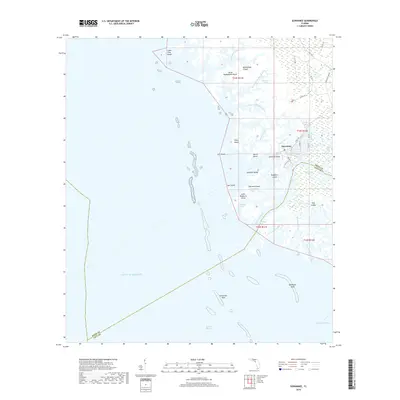
1978 Cedar Keys
Dixie County, FL
2012 Cross City East
Dixie County, FL
2012 Cross City SW
Dixie County, FL
2012 Cross City West
Dixie County, FL
2012 Eugene
Dixie County, FL
2012 Jena
Dixie County, FL
2012 Mallory Swamp SE
Dixie County, FL
2012 Mallory Swamp SW
Dixie County, FL
2012 Shired Island
Dixie County, FL
2012 Steinhatchee SE
Dixie County, FL
2012 Steinhatchee SW
Dixie County, FL
2012 Suwannee
Dixie County, FL
2012 Vista
Dixie County, FL
2015 Cross City East
Dixie County, FL
2015 Cross City SW
Dixie County, FL
2015 Cross City West
Dixie County, FL
2015 Eugene
Dixie County, FL

2015 Jena
Dixie County, FL
2015 Mallory Swamp SE
Dixie County, FL
2015 Mallory Swamp SW
Dixie County, FL
2015 Shired Island
Dixie County, FL
2015 Steinhatchee SE
Dixie County, FL

2015 Steinhatchee SW
Dixie County, FL
2015 Suwannee
Dixie County, FL

2015 Vista
Dixie County, FL
2018 Cross City East
Dixie County, FL
2018 Cross City SW
Dixie County, FL
2018 Cross City West
Dixie County, FL
2018 Eugene
Dixie County, FL
2018 Jena
Dixie County, FL

2018 Mallory Swamp SE
Dixie County, FL
2018 Mallory Swamp SW
Dixie County, FL

2018 Shired Island
Dixie County, FL
2018 Steinhatchee SE
Dixie County, FL
2018 Steinhatchee SW
Dixie County, FL
2018 Suwannee
Dixie County, FL

2018 Vista
Dixie County, FL
2021 Cross City East
Dixie County, FL
2021 Cross City SW
Dixie County, FL
2021 Cross City West
Dixie County, FL

2021 Eugene
Dixie County, FL
2021 Jena
Dixie County, FL
2021 Mallory Swamp SE
Dixie County, FL
2021 Mallory Swamp SW
Dixie County, FL
2021 Shired Island
Dixie County, FL

2021 Steinhatchee SE
Dixie County, FL
2021 Steinhatchee SW
Dixie County, FL
2021 Suwannee
Dixie County, FL
2021 Vista
Dixie County, FL
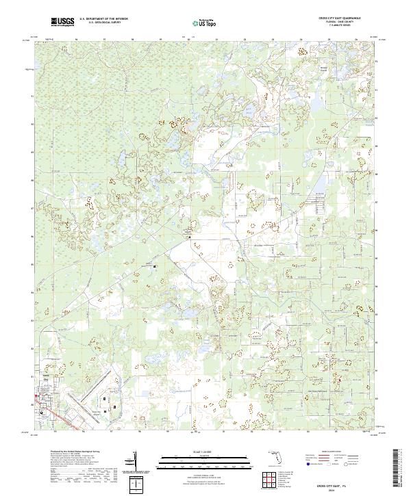
2024 Cross City East
Dixie County, FL
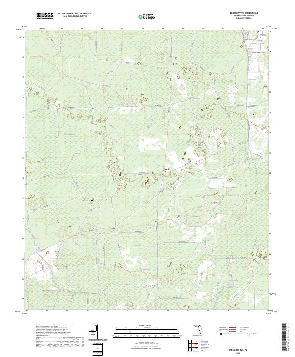
2024 Cross City SW
Dixie County, FL
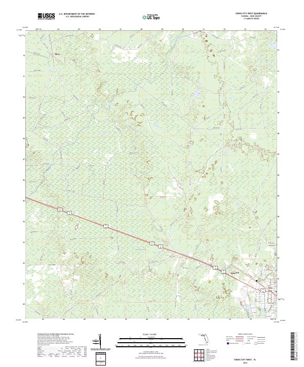
2024 Cross City West
Dixie County, FL
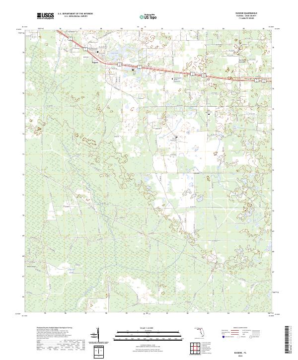
2024 Eugene
Dixie County, FL
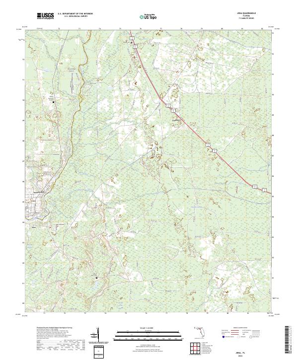
2024 Jena
Dixie County, FL
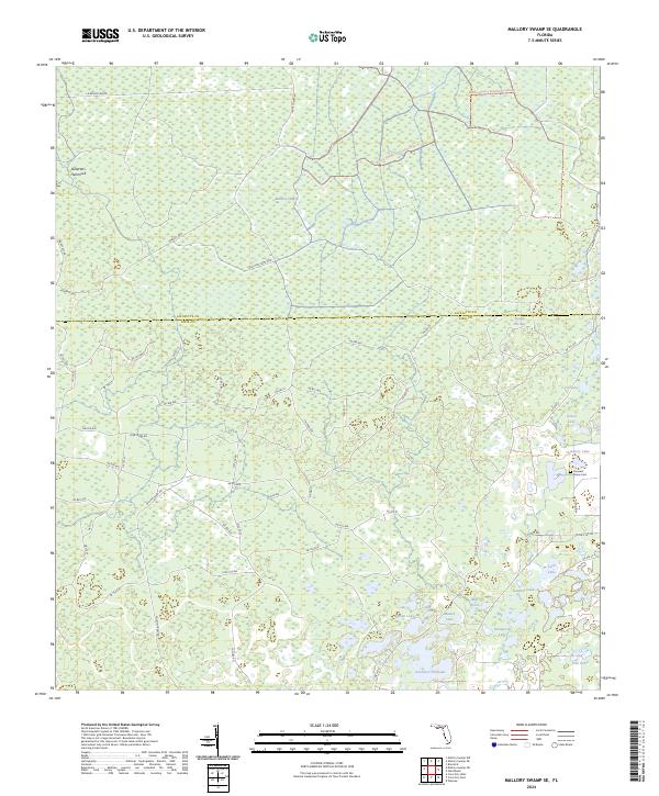
2024 Mallory Swamp SE
Dixie County, FL
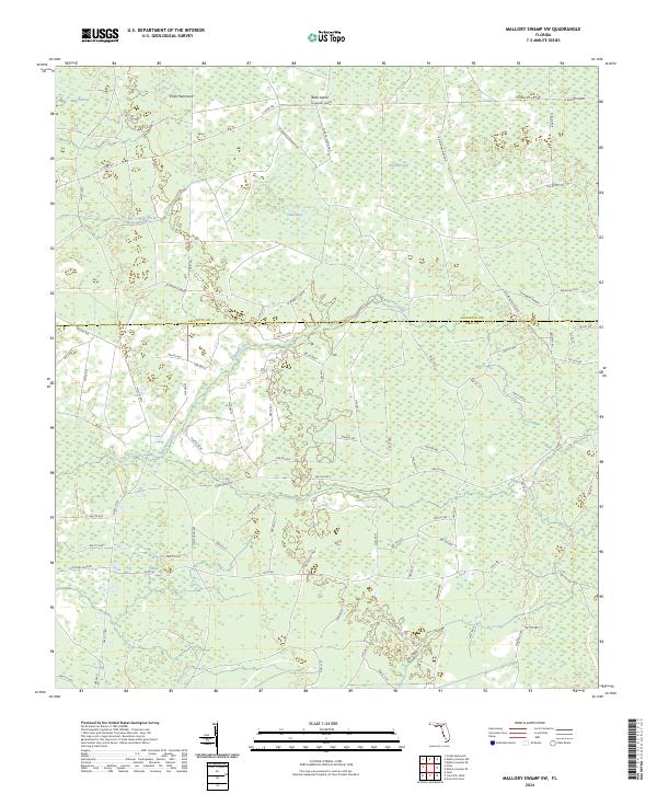
2024 Mallory Swamp SW
Dixie County, FL
2024 Shired Island
Dixie County, FL

2024 Steinhatchee SE
Dixie County, FL
2024 Steinhatchee SW
Dixie County, FL

2024 Suwannee
Dixie County, FL
2024 Vista
Dixie County, FL
2025 Shired Island
Dixie County, FL
2025 Steinhatchee SE
Dixie County, FL
2025 Steinhatchee SW
Dixie County, FL
2025 Suwannee
Dixie County, FL