
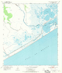
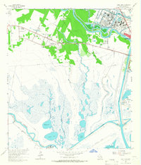
1952 Map of Cedar Lakes West
USGS Topo · Published 1953About this map
Cedar Lake Creek winds through the coastal marshlands of the upper Texas Gulf Coast, marking the shifting boundary between Brazoria and Matagorda counties. This 1952 topographic record illustrates the industrial and maritime infrastructure of the early 1950s, dominated by the Intracoastal Waterway running parallel to the shoreline. Large Spoil Banks line the canal, evidence of the massive dredging operations required to maintain a Project Depth 12 Feet.
Find a feature on this map
19 named features on this map. Tap any name to fly to it.
Don’t see what you’re looking for? This feature index may not catch every label — zoom into the map to look around manually.
Map Details
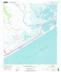
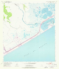
Editions of this 1952 Cedar Lakes West Map
4 editions found
Other maps of this area

1943 · Jones Creek
USGS Topo · 1:31,680

1943 · Cedar Lakes East
USGS Topo · 1:24,000

1951 · Bay City
USGS Topo · 1:250,000

1952 · Cedar Lane NE
USGS Topo · 1:24,000
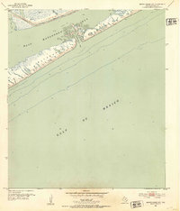
1952 · Brown Cedar Cut
USGS Topo · 1:24,000

1952 · Cedar Lane
USGS Topo · 1:24,000

1952 · Sargent
USGS Topo · 1:24,000

1956 · Bay City
USGS Topo · 1:250,000

1958 · Bay City
USGS Topo · 1:250,000
1963 · Jones Creek
USGS Topo · 1:24,000