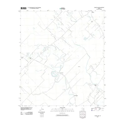
2010 Map of Cedar Lane
USGS Topo · Published 2010About this map
Hawkinsville and Gainesmore sit along the winding path of Caney Creek, a landscape defined by the low-lying coastal plains of Matagorda County. This 2010 survey shows the area's transition from agricultural use to modern rural homesteading, with a dense network of farm-to-market roads like Farm Market 457 and FM 521 Rd connecting scattered communities. Notable water features such as Williams Lake, Cannon Lake, and the meandering Cedar Lake Creek illustrate the hydrologic character of the region. Local history is anchored by the Jaden Cemetery in the northeast and the Fay Ranch Airport near Cedar Lane. The map provides a detailed view of family-named roads and drainage features like Dead Slough and Ash Flat, which speak to the area's long-standing relationship with the periodic floodwaters and the bayou systems of the Texas Gulf Coast.
Find a feature on this map
39 named features on this map. Tap any name to fly to it.
Don’t see what you’re looking for? This feature index may not catch every label — zoom into the map to look around manually.
Map Details
Editions of this 2010 Cedar Lane Map
This is the sole edition of this map. No revisions or reprints were ever made.
Other maps of this area

1950 · Houston
USGS Topo · 1:250,000

1951 · Bay City
USGS Topo · 1:250,000

1952 · Sweeny
USGS Topo · 1:24,000

1952 · Ashwood
USGS Topo · 1:24,000

1952 · Lake Austin
USGS Topo · 1:24,000

1952 · Cedar Lane NE
USGS Topo · 1:24,000

1952 · Cedar Lakes West
USGS Topo · 1:24,000

1952 · Bay City NE
USGS Topo · 1:24,000

1952 · Brazoria
USGS Topo · 1:24,000

1952 · Cedar Lane
USGS Topo · 1:24,000