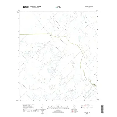
2019 Map of Cedar Lane
USGS Topo · Published 2019About this map
Hawkinsville sits at the southern reach of this coastal Texas landscape, where the braided channels of Caney Creek and Cedar Lake Creek define the low-lying terrain. The map documents a complex network of waterways, including Dead Slough and Linnville Bayou, which wind through the marshy bottomlands near the border of Brazoria and Matagorda counties. This geography reveals a long history of water-dependent land use, with small settlements like Ash Flat and points of interest such as Lake Bowie scattered across the coastal prairie.
Find a feature on this map
48 named features on this map. Tap any name to fly to it.
Don’t see what you’re looking for? This feature index may not catch every label — zoom into the map to look around manually.
Map Details
Editions of this 2019 Cedar Lane Map
This is the sole edition of this map. No revisions or reprints were ever made.
Other maps of this area

1950 · Houston
USGS Topo · 1:250,000

1951 · Bay City
USGS Topo · 1:250,000

1952 · Sweeny
USGS Topo · 1:24,000

1952 · Ashwood
USGS Topo · 1:24,000

1952 · Lake Austin
USGS Topo · 1:24,000

1952 · Cedar Lane NE
USGS Topo · 1:24,000

1952 · Cedar Lakes West
USGS Topo · 1:24,000

1952 · Bay City NE
USGS Topo · 1:24,000

1952 · Brazoria
USGS Topo · 1:24,000

1952 · Cedar Lane
USGS Topo · 1:24,000