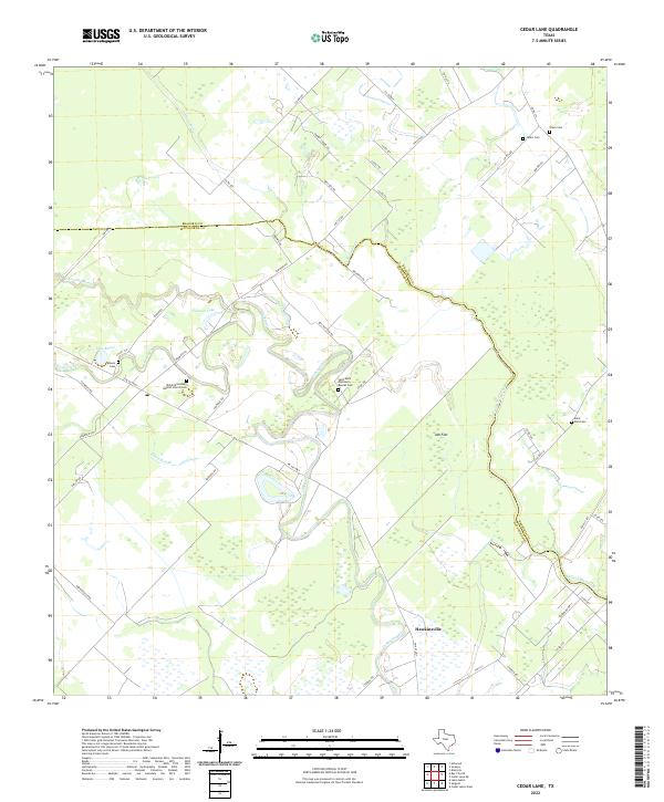
2022 Map of Cedar Lane
USGS Topo · Published 2022About this map
Hawkinsville serves as the primary settlement within this coastal Texas landscape, situated along the winding course of Caney Creek. The geography is defined by a network of slow-moving waterways and wetlands, including Linnville Bayou and the expansive Ash Flat. This map captures a rural environment where land use is dictated by the low-lying terrain, evidenced by the scattered distribution of family and church cemeteries that serve as permanent landmarks for local genealogists.
Find a feature on this map
56 named features on this map. Tap any name to fly to it.
Don’t see what you’re looking for? This feature index may not catch every label — zoom into the map to look around manually.
Map Details
Editions of this 2022 Cedar Lane Map
This is the sole edition of this map. No revisions or reprints were ever made.
Other maps of this area

1950 · Houston
USGS Topo · 1:250,000

1951 · Bay City
USGS Topo · 1:250,000

1952 · Sweeny
USGS Topo · 1:24,000

1952 · Ashwood
USGS Topo · 1:24,000

1952 · Lake Austin
USGS Topo · 1:24,000

1952 · Cedar Lane NE
USGS Topo · 1:24,000

1952 · Cedar Lakes West
USGS Topo · 1:24,000

1952 · Bay City NE
USGS Topo · 1:24,000

1952 · Brazoria
USGS Topo · 1:24,000

1952 · Cedar Lane
USGS Topo · 1:24,000