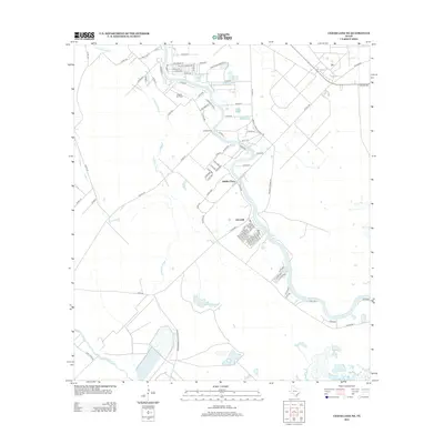
2013 Map of Cedar Lane NE
USGS Topo · Published 2013About this map
The San Bernard River winds through this coastal Texas landscape, defining the character of the settlements at Hinkles Ferry and Churchill. This region is shaped by the slow movement of water through the Cocklebur Slough and Cedar Lake Cr, creating a complex network of wetlands and drainage patterns typical of the Brazoria County coast. Modern industry and infrastructure are represented by the Phillips 66 Company facility in the north and the nearby Eagle Air Park, while the southern reaches of the map are preserved by the San Bernard Wildlife Refuge. A dense network of local roads, such as Hinkles Ferry-Churchill Rd and River Run St, provides access to rural residences and ranching lands like Riverview Rnch, illustrating the transition from industrial development to conservation areas.
Find a feature on this map
83 named features on this map. Tap any name to fly to it.
Don’t see what you’re looking for? This feature index may not catch every label — zoom into the map to look around manually.
Map Details
Editions of this 2013 Cedar Lane NE Map
This is the sole edition of this map. No revisions or reprints were ever made.
Other maps of this area

1943 · Jones Creek
USGS Topo · 1:31,680

1943 · Cedar Lakes East
USGS Topo · 1:24,000

1943 · Snipe
USGS Topo · 1:31,680

1950 · Houston
USGS Topo · 1:250,000

1951 · Bay City
USGS Topo · 1:250,000

1952 · Sweeny
USGS Topo · 1:24,000

1952 · Cedar Lane NE
USGS Topo · 1:24,000

1952 · Cedar Lakes West
USGS Topo · 1:24,000

1952 · Brazoria
USGS Topo · 1:24,000

1952 · Cedar Lane
USGS Topo · 1:24,000