
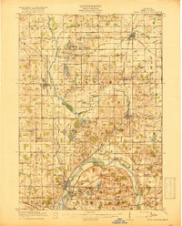
1918 Map of Cedar Springs
USGS Topo · Published 1918About this map
The Grand River and its many tributaries, including Duck Creek and Bear Creek, define the settlement patterns of this northern Kent County landscape at the end of the Great War. Railroad connectivity was the lifeblood of these rural townships, with the Pere Marquette, Grand Trunk, and Grand Rapids and Indiana lines linking centers like Rockford, Cedar Springs, and Sparta. The map reveals a densely settled agricultural region punctuated by dozens of local education sites, such as Block Tavern School, Christian Hill School, and Morningside School. Near the southern boundary, industrial and institutional footprints emerge around the Soldiers Home and the U S Rifle Range, while named crossroads like Vandenhoven Corners and Johnston Corners identify the social hubs for family farms. Numerous milling operations, including Raines Mill and Bradley Mill, indicate a landscape transitioning from pioneer timbering to established milling and farming.
Find a feature on this map
115 named features on this map. Tap any name to fly to it.
Don’t see what you’re looking for? This feature index may not catch every label — zoom into the map to look around manually.
Map Details
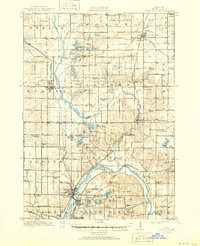
Editions of this 1918 Cedar Springs Map
3 editions found
Other maps of this area

1914 · Grand Rapids
USGS Topo · 1:62,500

1918 · Lowell
USGS Topo · 1:62,500

1943 · Cedar Springs
USGS Topo · 1:62,500

1943 · Grand Rapids
USGS Topo · 1:62,500

1943 · Lowell
USGS Topo · 1:62,500

1945 · Ravenna
USGS Topo · 1:62,500

1954 · Midland
USGS Topo · 1:250,000

1958 · Midland
USGS Topo · 1:250,000

1958 · Grandville
USGS Topo · 1:62,500

1958 · Sand Lake
USGS Topo · 1:62,500