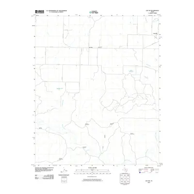
2010 Map of Cee Vee
USGS Topo · Published 2010About this map
Cee Vee sits at the heart of this Cottle County landscape, where the agricultural traditions of the Texas Rolling Plains are clearly mapped through a network of ranch roads and water infrastructure. The survey reveals a region dependent on scattered water sources, featuring numerous specialized landmarks like Sisk Pen Windmill, Cow Hollow Windmill, and Lone Canyon Windmill. These features, along with stock ponds such as Willow Hole Tank and Raggedy Tank, illustrate the practical requirements of cattle ranching in an arid environment.
Find a feature on this map
32 named features on this map. Tap any name to fly to it.
Don’t see what you’re looking for? This feature index may not catch every label — zoom into the map to look around manually.
Map Details
Editions of this 2010 Cee Vee Map
This is the sole edition of this map. No revisions or reprints were ever made.
Other maps of this area

1954 · Plainview
USGS Topo · 1:250,000

1958 · Plainview
USGS Topo · 1:250,000

1966 · Fields Canyon
USGS Topo · 1:24,000

1966 · Cee Vee
USGS Topo · 1:24,000

1966 · Tee Pee City
USGS Topo · 1:24,000

1966 · Devils Canyon
USGS Topo · 1:24,000

1967 · Tell South
USGS Topo · 1:24,000

1967 · Hell Roaring Creek
USGS Topo · 1:24,000

1967 · Dunlap
USGS Topo · 1:24,000

1967 · Northfield
USGS Topo · 1:24,000