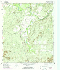
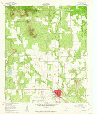
1962 Map of Cement Mountain
USGS Topo · Published 1988About this map
The Colorado River winds through this West Texas landscape, cutting a path through the limestone uplands of Coke County. The 1962 topography shows an economy shifting from ranching toward energy extraction, evidenced by the presence of the Wendland Oil Field and scattered Oil Wells across the northern reaches. Small rural gatherings are anchored by the Valley View settlement and a local Community Center, providing social focal points for the surrounding countryside.
Find a feature on this map
26 named features on this map. Tap any name to fly to it.
Don’t see what you’re looking for? This feature index may not catch every label — zoom into the map to look around manually.
Map Details
Editions of this 1962 Cement Mountain Map
3 editions found
Other maps of this area

1891 · Hayrick
USGS Topo · 1:125,000

1894 · Hayrick
USGS Topo · 1:125,000

1921 · Bronte
USGS Topo · 1:31,680

1921 · Mays School
USGS Topo · 1:31,680

1954 · San Angelo
USGS Topo · 1:250,000

1957 · Carlsbad
USGS Topo · 1:62,500

1957 · Harriet
USGS Topo · 1:62,500

1958 · San Angelo
USGS Topo · 1:250,000
1961 · Shawville
USGS Topo · 1:24,000
1961 · Bronte
USGS Topo · 1:24,000