
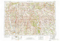
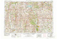
1954 Map of Centerville
USGS Topo · Published 1967About this map
The rolling borderlands of southern Iowa and northern Missouri are defined by a dense network of river systems and rail lines in this mid-century survey. Centerville and Kirksville anchor a region where the Chariton River and Des Moines River carve through the agricultural landscape. The map captures the infrastructure of the era, showcasing the heavy rail presence of the Chicago Burlington and Quincy and the Wabash railroads that connected smaller coal and farming towns like Mystic and Seymour to larger hubs like Ottumwa.
Find a feature on this map
92 named features on this map. Tap any name to fly to it.
Don’t see what you’re looking for? This feature index may not catch every label — zoom into the map to look around manually.
Map Details
Editions of this 1954 Centerville Map
3 editions found
Other maps of this area

1903 · Kahoka
USGS Topo · 1:125,000

1903 · Palmyra
USGS Topo · 1:125,000

1903 · Edina
USGS Topo · 1:125,000

1908 · Atlanta
USGS Topo · 1:62,500

1911 · Queen City
USGS Topo · 1:62,500

1912 · Green City
USGS Topo · 1:62,500

1913 · Queen City
USGS Topo · 1:62,500

1914 · Green City
USGS Topo · 1:62,500

1918 · Chariton
USGS Topo · 1:62,500

1921 · Chillicothe
USGS Topo · 1:62,500