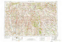
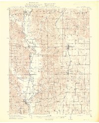
1954 Map of Centerville
USGS Topo · Published 1976About this map
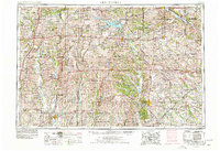
Lake Rathbun dominates the northern reaches of this borderland landscape, where the rolling plains of southern Iowa meet northern Missouri. The map illustrates a region defined by its dense network of waterways, including the winding Chariton River and the Des Moines River, which historically dictated the placement of early settlements and agricultural centers. Major rail lines like the Wabash Railroad and the Norfolk and Western cut across the terrain, linking industrial hubs like Ottumwa and Kirksville to the smaller trade towns of the interior.
Find a feature on this map
148 named features on this map. Tap any name to fly to it.
Don’t see what you’re looking for? This feature index may not catch every label — zoom into the map to look around manually.
Map Details
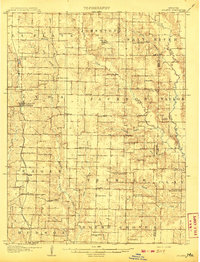
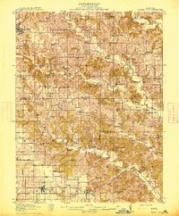
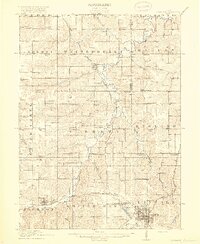
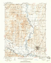
Editions of this 1954 Centerville Map
3 editions found

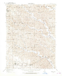
Other maps of this area

1903 · Kahoka
USGS Topo · 1:125,000

1903 · Palmyra
USGS Topo · 1:125,000

1903 · Edina
USGS Topo · 1:125,000
1908 · Atlanta
USGS Topo · 1:62,500

1911 · Queen City
USGS Topo · 1:62,500
1912 · Green City
USGS Topo · 1:62,500
1913 · Queen City
USGS Topo · 1:62,500
1914 · Green City
USGS Topo · 1:62,500
1918 · Chariton
USGS Topo · 1:62,500
1921 · Chillicothe
USGS Topo · 1:62,500