Loading...
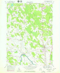
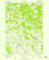
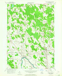
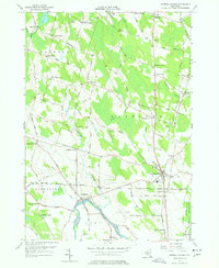
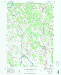
Loading map...1956 Map of Central Square
USGS Topo · Published 1979About this map
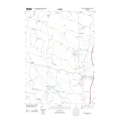
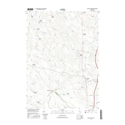
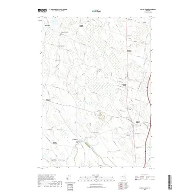
The Oneida River and the northern shores of Oneida Lake define this mid-century landscape of south-central Oswego County. Centered on the crossroads of Central Square, the map details a rural geography characterized by family-named hamlets and corners, including Peat Corners, Benders Corners, and Bardeen Corners. The transition from agrarian land use to modern infrastructure is evident in the presence of Conrail rail lines and early development around Suburban Syracuse.
Find a feature on this map
76 named features on this map. Tap any name to fly to it.
Don’t see what you’re looking for? This feature index may not catch every label — zoom into the map to look around manually.
Map Details
Date Portrayed1956
Date Published1979
PublisherU.S. Geological Survey
Map TypeTopographic
Scale1:24,000
Physical Dimensions22 x 26.9 inches
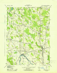
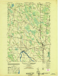
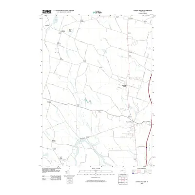
Editions of this 1956 Central Square Map
5 editions found
Historical Maps of Clay Through Time
8 maps found

Featured Locations
Source Details
SourceU.S. Geological Survey
CopyrightPublic Domain