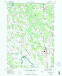
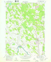
1956 Map of Central Square
USGS Topo · Published 1979About this map
Central Square serves as the focal point of this Oswego County landscape, situated at a major crossroads just north of the Oneida River. The map captures a mid-century rural environment characterized by numerous small, family-named hamlets and corners such as Peat Corners, Benders Corners, and Stewart Corners. The southern edge of the survey follows the winding path of the Oneida River, which forms the boundary with Onondaga County, leading toward the marshy expanse of Big Bay Swamp and the tip of Oneida Lake.
Find a feature on this map
81 named features on this map. Tap any name to fly to it.
Don’t see what you’re looking for? This feature index may not catch every label — zoom into the map to look around manually.
Map Details
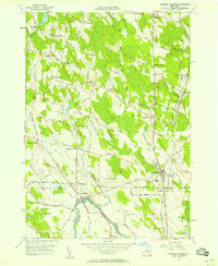
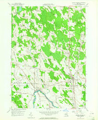
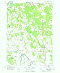
Editions of this 1956 Central Square Map
5 editions found
Other maps of this area

1895 · Syracuse
USGS Topo · 1:62,500

1898 · Syracuse
USGS Topo · 1:62,500

1900 · Baldwinsville
USGS Topo · 1:62,500

1900 · Fulton
USGS Topo · 1:62,500

1905 · Mexico
USGS Topo · 1:62,500

1940 · Brewerton
USGS Topo · 1:24,000

1940 · Cicero
USGS Topo · 1:24,000

1943 · New Haven
USGS Topo · 1:31,680
1943 · Mallory
USGS Topo · 1:31,680

1943 · Brewerton
USGS Topo · 1:31,680