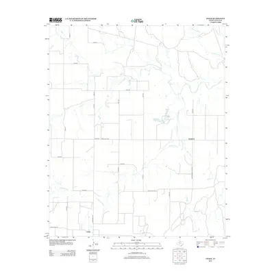
2012 Map of Chalk
USGS Topo · Published 2012About this map
Chalk and Hackberry sit within a landscape defined by the drainage networks of the Rolling Plains, where the N Wichita River and Salt Creek have carved distinct paths through Cottle County. This 2012 survey shows a rural infrastructure dominated by ranch roads and section lines, with Ranch Road 1278 and Farm-to-Market Road 3102 providing the primary transit through the sparsely settled cattle country. The hydrology of the area is particularly varied, featuring intermittent streams like Buffalo Cr and Cottonwood Cr alongside more permanent water features such as Worley Lake and L Worley Lake. A specific point of interest is Salt Spring, located in the north-central portion of the map, signifying the mineral-heavy water sources that characterize this region of West Texas.
Find a feature on this map
31 named features on this map. Tap any name to fly to it.
Don’t see what you’re looking for? This feature index may not catch every label — zoom into the map to look around manually.
Map Details
Editions of this 2012 Chalk Map
This is the sole edition of this map. No revisions or reprints were ever made.
Other maps of this area

1954 · Lubbock
USGS Topo · 1:250,000

1954 · Plainview
USGS Topo · 1:250,000

1958 · Plainview
USGS Topo · 1:250,000

1966 · Chalk SW
USGS Topo · 1:24,000

1966 · Lowrance Mountain
USGS Topo · 1:24,000

1967 · Triangle Ranch
USGS Topo · 1:24,000

1967 · Paducah
USGS Topo · 1:24,000

1967 · Moons Camp
USGS Topo · 1:24,000

1968 · Y Ranch
USGS Topo · 1:24,000

1968 · Grow
USGS Topo · 1:24,000