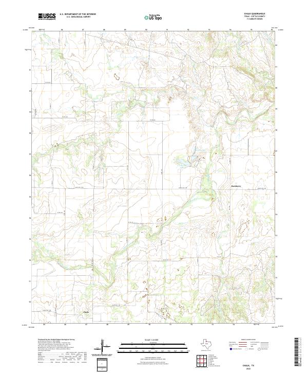
2022 Map of Chalk
USGS Topo · Published 2022About this map
The N Wichita River cuts through this portion of Cottle County, defining a landscape of deeply etched drainage patterns and seasonal waterways. This 2022 survey captures the rural character of the region near the small settlements of Chalk and Hackberry, where the local economy is tied to ranching and expansive land holdings. The presence of Salt Spring and numerous ephemeral creeks like Salt Cr and Buffalo Cr highlights the hydrologic challenges and natural features that have dictated settlement patterns in this part of West Texas for generations.
Find a feature on this map
30 named features on this map. Tap any name to fly to it.
Don’t see what you’re looking for? This feature index may not catch every label — zoom into the map to look around manually.
Map Details
Editions of this 2022 Chalk Map
This is the sole edition of this map. No revisions or reprints were ever made.
Other maps of this area

1954 · Lubbock
USGS Topo · 1:250,000

1954 · Plainview
USGS Topo · 1:250,000

1958 · Plainview
USGS Topo · 1:250,000

1966 · Chalk SW
USGS Topo · 1:24,000

1966 · Lowrance Mountain
USGS Topo · 1:24,000

1967 · Triangle Ranch
USGS Topo · 1:24,000

1967 · Paducah
USGS Topo · 1:24,000

1967 · Moons Camp
USGS Topo · 1:24,000

1968 · Y Ranch
USGS Topo · 1:24,000

1968 · Grow
USGS Topo · 1:24,000