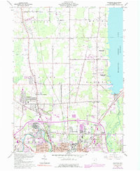
1960 Map of Champion
USGS Topo · Published 1992About this map
Mosquito Creek Lake dominates the eastern edge of this landscape, its shoreline dotted with park facilities such as Mosquito Creek State Park and local docks. To the south, the industrial and residential northern reaches of Warren emerge, marked by a dense grid of streets and specialized infrastructure like the Slag Pile and Sludge Pit near the Mahoning River. The transition from the urban center of Warren to the more rural townships of Bristol and Champion is defined by a series of small crossroads and named corners, including Hoagland Corner and Wilhelm Corner. This area, part of the Connecticut Western Reserve, shows a steady pattern of settlement along State Road and Town Line Road, where family-linked sites like McMurray Cem and Ewell Cem provide vital markers for local genealogy.
Find a feature on this map
50 named features on this map. Tap any name to fly to it.
Don’t see what you’re looking for? This feature index may not catch every label — zoom into the map to look around manually.
Map Details
Editions of this 1960 Champion Map
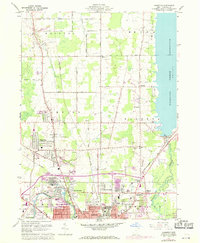
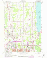
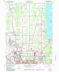
5 editions found

Other maps of this area

1905 · Bristolville
USGS Topo · 1:62,500

1906 · Youngstown
USGS Topo · 1:62,500

1907 · Kinsman
USGS Topo · 1:62,500

1907 · Bristolville
USGS Topo · 1:62,500

1908 · Youngstown
USGS Topo · 1:62,500

1908 · Warren
USGS Topo · 1:62,500

1950 · Cleveland
USGS Topo · 1:250,000

1952 · West Farmington
USGS Topo · 1:24,000

1952 · Southington
USGS Topo · 1:24,000

1954 · Girard
USGS Topo · 1:24,000