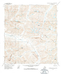
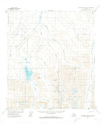
1971 Map of Chandler Lake A-2
USGS Topo · Published 1973About this map
The Continental Divide winds through this Brooks Range landscape, marking a profound hydrologic boundary between the Arctic and Pacific drainages. Flowing northward toward the Arctic Ocean, the Anaktuvuk River and Nanushuk River dominate the northern slopes, while the headwaters of the North Fork Koyukuk River drain south toward the Yukon River system. This high-altitude terrain is defined by the remnants of glacial activity, visible in the West Alapah Glacier and East Alapah Glacier which cling to the heights of Alapah Mountain.
Find a feature on this map
28 named features on this map. Tap any name to fly to it.
Don’t see what you’re looking for? This feature index may not catch every label — zoom into the map to look around manually.
Map Details
Editions of this 1971 Chandler Lake A-2 Map
3 editions found
Other maps of this area

1951 · Chandler Lake
USGS Topo · 1:250,000

1951 · Wiseman
USGS Topo · 1:250,000

1956 · Wiseman
USGS Topo · 1:250,000

1956 · Chandler Lake
USGS Topo · 1:250,000

1964 · Wiseman
USGS Topo · 1:250,000

1964 · Chandler Lake
USGS Topo · 1:250,000
1971 · Chandler Lake A-2
USGS Topo · 1:63,360
1971 · Chandler Lake A-1
USGS Topo · 1:63,360

1971 · Chandler Lake A-3
USGS Topo · 1:63,360
1971 · Chandler Lake B-2
USGS Topo · 1:63,360