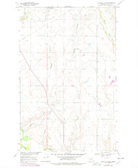
1969 Map of Chapman Coulee
USGS Topo · Published 1978About this map
The Milk River flows across the southern portion of this Valley County landscape, anchoring a complex network of drainage coulees and seasonal creeks. Photogrammetric methods from 1967 and field checks in 1969 reveal a sparse, wide-open territory defined by the cattle-and-water economy of the Missouri River Basin. To the north, Cornwell Reservoir serves as a critical point for water management in an otherwise arid region carved by Alkali Coulee and Wire Grass Creek.
Find a feature on this map
10 named features on this map. Tap any name to fly to it.
Don’t see what you’re looking for? This feature index may not catch every label — zoom into the map to look around manually.
Map Details
Editions of this 1969 Chapman Coulee Map
2 editions found
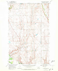
Other maps of this area

1943 · Glasgow
USGS Topo · 1:125,000

1954 · Glasgow
USGS Topo · 1:250,000

1957 · Glasgow
USGS Topo · 1:250,000

1958 · Glasgow
USGS Topo · 1:250,000

1958 · Engstrom Ranch
USGS Topo · 1:24,000

1958 · Miller Coulee
USGS Topo · 1:62,500

1958 · Glasgow
USGS Topo · 1:24,000

1958 · Whately
USGS Topo · 1:24,000

1969 · Cornwell Reservoir
USGS Topo · 1:24,000

1969 · Chapman Coulee NE
USGS Topo · 1:24,000