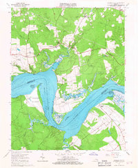
1965 Map of Charles City
USGS Topo · Published 1967About this map
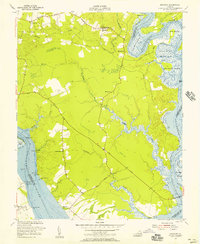
Flowerdew Hundred and Sherwood Forest anchor this mid-1960s study of the James River landscape, where historic estates and colonial-era settlement patterns meet the tidal reach. The James River dominates the geography, specifically the Three Mile Reach and the sharp turn at Weyanoke Point, defining a region shaped by maritime transport and large agricultural tracts. This era shows the continued significance of riverfront locations like Upper Brandon and Milton alongside small crossroads communities such as Ruthville and Greenway.
Find a feature on this map
46 named features on this map. Tap any name to fly to it.
Don’t see what you’re looking for? This feature index may not catch every label — zoom into the map to look around manually.
Map Details
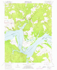
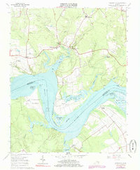
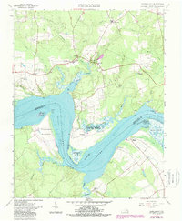
Editions of this 1965 Charles City Map
4 editions found
Other maps of this area

1917 · Toano
USGS Topo · 1:62,500

1918 · Charles City
USGS Topo · 1:62,500

1918 · Toano
USGS Topo · 1:62,500

1919 · Surry
USGS Topo · 1:62,500

1919 · Disputanta
USGS Topo · 1:62,500

1943 · Savedge
USGS Topo · 1:31,680

1943 · Disputanta
USGS Topo · 1:31,680

1943 · Richmond
USGS Topo · 1:250,000

1949 · Richmond
USGS Topo · 1:250,000
1952 · Brandon
USGS Topo · 1:24,000