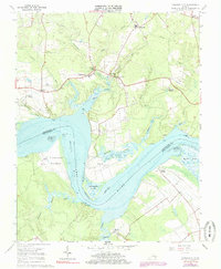
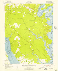
1965 Map of Charles City
USGS Topo · Published 1985About this map
Flower Dew Hundred and its deep history along the James River anchor this mid-1960s topographic survey of the Virginia Tidewater. The landscape is defined by the winding James River, where large historic estates like Sherwood Forest and Upper Brandon sit across from one another near the tidal flats of Three Mile Reach. The map provides an intricate view of the river's shoreline and landings, including Willcox Wharf and Olds Point, reflecting a period when water access remained central to these colonial-era settlements.
Find a feature on this map
46 named features on this map. Tap any name to fly to it.
Don’t see what you’re looking for? This feature index may not catch every label — zoom into the map to look around manually.
Map Details
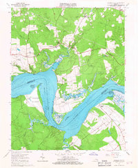
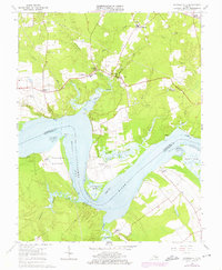
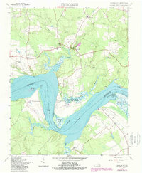
Editions of this 1965 Charles City Map
4 editions found
Other maps of this area

1917 · Toano
USGS Topo · 1:62,500

1918 · Charles City
USGS Topo · 1:62,500

1918 · Toano
USGS Topo · 1:62,500

1919 · Surry
USGS Topo · 1:62,500

1919 · Disputanta
USGS Topo · 1:62,500

1943 · Savedge
USGS Topo · 1:31,680

1943 · Disputanta
USGS Topo · 1:31,680

1943 · Richmond
USGS Topo · 1:250,000

1949 · Richmond
USGS Topo · 1:250,000
1952 · Brandon
USGS Topo · 1:24,000