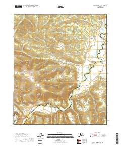
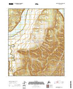
2018 Map of Charley River A-4 NW
USGS Topo · Published 2018About this map
Yukon-Charley Rivers National Preserve dominates this portion of the Alaskan interior, protecting a landscape defined by the winding course of the Charley River. The terrain is characterized by a dense network of drainage systems, including Cultas Cr and Flat Cr, which flow through the northeastern sector. In the southern half of the quadrangle, Irish Gulch and Silvia Cr carve through the elevation, illustrating the intricate hydrology of the region. This 2018 survey captures the area's transition across the boundary of the Yukon-Koyukuk Census Area Southeast Fairbanks Census Area. The lack of road infrastructure or named settlements emphasizes the primitive state of this protected river corridor, where the natural watercourses like Bonanza Cr and Todd Cr remain the primary landmarks for navigation and land study.
Find a feature on this map
14 named features on this map. Tap any name to fly to it.
Don’t see what you’re looking for? This feature index may not catch every label — zoom into the map to look around manually.
Map Details
Editions of this 2018 Charley River A-4 NW Map
This is the sole edition of this map. No revisions or reprints were ever made.
Other maps of this area

1951 · Charley River
USGS Topo · 1:250,000

1956 · Charley River A-5
USGS Topo · 1:63,360

1956 · Charley River A-4
USGS Topo · 1:63,360

1956 · Charley River B-5
USGS Topo · 1:63,360

1956 · Charley River B-4
USGS Topo · 1:63,360

1956 · Charley River
USGS Topo · 1:250,000
2018 · Charley River B-4 SW
USGS Topo · 1:25,000
2018 · Charley River A-5 SE
USGS Topo · 1:25,000
2018 · Charley River A-4 NE
USGS Topo · 1:25,000
2018 · Charley River B-4 SE
USGS Topo · 1:25,000