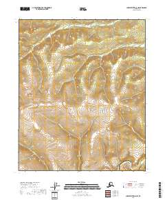
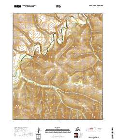
2018 Map of Charley River A-5 NE
USGS Topo · Published 2018About this map
Yukon-Charley River National Preserve dominates the landscape of this interior Alaska wilderness, which is defined by a dense network of high-elevation drainages. The Charley River flows through the southeastern corner, while numerous smaller waterways like Sam Cr and Erickson Cr carve through the steep topography of the western hills. The map illustrates a strictly natural terrain where survival depends on the seasonal flow of creeks such as Cidius Cr and Situa Cr. This survey provides a baseline of the regional hydrology and land boundaries within the Yukon-Koyukuk and Southeast Fairbanks Census Areas, highlighting a transition zone of remote subarctic watersheds far from established road networks or settlements.
Find a feature on this map
12 named features on this map. Tap any name to fly to it.
Don’t see what you’re looking for? This feature index may not catch every label — zoom into the map to look around manually.
Map Details
Editions of this 2018 Charley River A-5 NE Map
This is the sole edition of this map. No revisions or reprints were ever made.
Other maps of this area

1951 · Charley River
USGS Topo · 1:250,000

1956 · Charley River A-5
USGS Topo · 1:63,360

1956 · Charley River A-4
USGS Topo · 1:63,360

1956 · Charley River B-5
USGS Topo · 1:63,360

1956 · Charley River B-4
USGS Topo · 1:63,360

1956 · Charley River
USGS Topo · 1:250,000
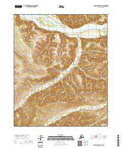
2018 · Charley River B-5 SW
USGS Topo · 1:25,000
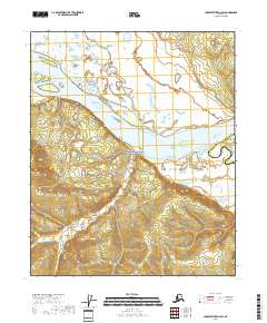
2018 · Charley River B-4 SW
USGS Topo · 1:25,000
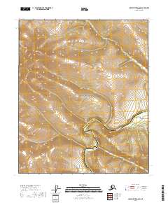
2018 · Charley River A-5 SW
USGS Topo · 1:25,000
2018 · Charley River A-5 SE
USGS Topo · 1:25,000