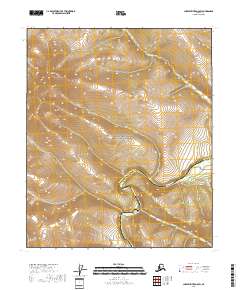
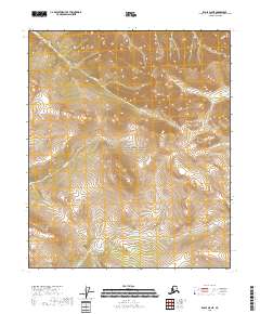
2018 Map of Charley River A-5 SW
USGS Topo · Published 2018About this map
Yukon-Charley Rivers National Preserve dominates the landscape of this interior Alaskan map, where the winding Charley River carves through the transition between the Yukon-Koyukuk and Southeast Fairbanks census areas. The terrain is defined by dramatic elevation changes, centered around the prominent Twin Mtn in the northwest. This 2018 survey captures a purely natural environment without modern roads or settlements, emphasizing the hydrographic network of the region. Tributaries like Hanna Cr and Essie Cr flow through the deep valleys of the preserve, illustrating the untouched watershed of the Charley River basin. The map is a detailed record of land management boundaries and public land survey systems including t3n r21e and t2n r22e, providing a precise look at this protected wilderness.
Find a feature on this map
11 named features on this map. Tap any name to fly to it.
Don’t see what you’re looking for? This feature index may not catch every label — zoom into the map to look around manually.
Map Details
Editions of this 2018 Charley River A-5 SW Map
This is the sole edition of this map. No revisions or reprints were ever made.
Other maps of this area

1951 · Charley River
USGS Topo · 1:250,000

1951 · Eagle
USGS Topo · 1:250,000

1956 · Charley River A-5
USGS Topo · 1:63,360

1956 · Charley River A-6
USGS Topo · 1:63,360

1956 · Charley River
USGS Topo · 1:250,000
1956 · Eagle D-5
USGS Topo · 1:63,360
1956 · Eagle D-6
USGS Topo · 1:63,360

1957 · Eagle
USGS Topo · 1:250,000
2018 · Eagle D-5 NW
USGS Topo · 1:25,000
2018 · Eagle D-5 NE
USGS Topo · 1:25,000