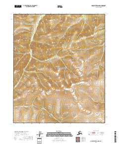
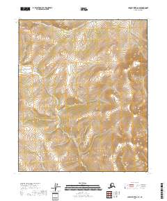
2018 Map of Charley River A-5 NW
USGS Topo · Published 2018About this map
Yukon-Charley Rivers National Preserve encompasses most of this landscape in the northern sub-arctic, centered around the high elevations of the Mertie Mountains. The interior terrain is defined by prominent peaks like Mt Ernest Patty, which towers over a network of vital drainages including Coal Cr and Sam Cr. This 2018 survey illustrates the complex drainage patterns and relief characteristic of this part of the Alaska interior, where watercourses like Colorado Cr and Cool Cr have carved through the landscape. The lack of established road networks underscores the isolation of the territory, relying instead on natural landmarks and historical mining-era names for navigation through the northern wilderness.
Find a feature on this map
13 named features on this map. Tap any name to fly to it.
Don’t see what you’re looking for? This feature index may not catch every label — zoom into the map to look around manually.
Map Details
Editions of this 2018 Charley River A-5 NW Map
This is the sole edition of this map. No revisions or reprints were ever made.
Other maps of this area

1951 · Charley River
USGS Topo · 1:250,000

1956 · Charley River B-6
USGS Topo · 1:63,360

1956 · Charley River A-5
USGS Topo · 1:63,360

1956 · Charley River B-5
USGS Topo · 1:63,360

1956 · Charley River A-6
USGS Topo · 1:63,360

1956 · Charley River
USGS Topo · 1:250,000
2018 · Charley River B-5 SW
USGS Topo · 1:25,000
2018 · Charley River A-5 SW
USGS Topo · 1:25,000
2018 · Charley River A-5 SE
USGS Topo · 1:25,000
2018 · Charley River A-6 SE
USGS Topo · 1:25,000