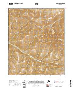
2018 Map of Charley River A-6 NW
USGS Topo · Published 2018About this map
Yukon-Charley Rivers National Preserve and the Steese National Conservation Area meet in this 2018 survey of the interior Alaskan wilderness. The map captures a landscape defined by high ridges and the drainage basins of the Yukon Fork S Fork Birch Cr, which meanders through the southern half of the quadrangle. The northern reach is characterized by steep drainage systems including Thanksgiving Cr and Webber Cr, which flow northward toward the Yukon River corridor.
Find a feature on this map
12 named features on this map. Tap any name to fly to it.
Don’t see what you’re looking for? This feature index may not catch every label — zoom into the map to look around manually.
Map Details
Editions of this 2018 Charley River A-6 NW Map
This is the sole edition of this map. No revisions or reprints were ever made.
Other maps of this area

1951 · Charley River
USGS Topo · 1:250,000

1951 · Circle
USGS Topo · 1:250,000

1955 · Circle A-1
USGS Topo · 1:63,360

1955 · Circle B-1
USGS Topo · 1:63,360

1955 · Circle
USGS Topo · 1:250,000

1956 · Charley River B-6
USGS Topo · 1:63,360

1956 · Charley River A-6
USGS Topo · 1:63,360

1956 · Charley River
USGS Topo · 1:250,000

1964 · Circle
USGS Topo · 1:250,000
2018 · Circle B-1 SE
USGS Topo · 1:25,000