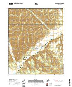
2018 Map of Charley River B-3 NW
USGS Topo · Published 2018About this map
The Kandik River meanders through this interior Alaska landscape, dominated by the protected lands of the Yukon-Charley Rivers National Preserve. This 2018 survey illustrates a region defined by its complex drainage systems, where Seventymile Cr, Mardow Cr, and Judge Cr carve through the high elevations of the Yukon-Koyukuk and Southeast Fairbanks census areas. The map provides a detailed view of the Public Land Survey System (PLSS) grid, showing the intersections of townships T6N through T8N across ranges R25E to R27E. The terrain is characterized by steep contour gradients and significant wetland areas along the river valley floor, reflecting the undisturbed natural state of this preserved wilderness corridor.
Find a feature on this map
15 named features on this map. Tap any name to fly to it.
Don’t see what you’re looking for? This feature index may not catch every label — zoom into the map to look around manually.
Map Details
Editions of this 2018 Charley River B-3 NW Map
This is the sole edition of this map. No revisions or reprints were ever made.
Other maps of this area

1951 · Charley River
USGS Topo · 1:250,000

1956 · Charley River B-3
USGS Topo · 1:63,360

1956 · Charley River C-4
USGS Topo · 1:63,360
1956 · Charley River C-3
USGS Topo · 1:63,360

1956 · Charley River B-4
USGS Topo · 1:63,360

1956 · Charley River
USGS Topo · 1:250,000
2018 · Charley River C-4 SE
USGS Topo · 1:25,000
2018 · Charley River C-3 SE
USGS Topo · 1:25,000
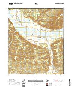
2018 · Charley River B-3 SW
USGS Topo · 1:25,000
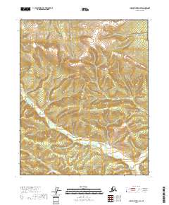
2018 · Charley River C-3 SW
USGS Topo · 1:25,000