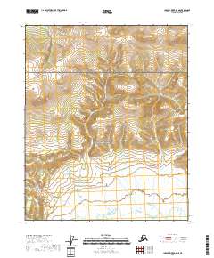
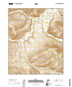
2018 Map of Charley River B-5 NE
USGS Topo · Published 2018About this map
Yukon-Charley Rivers National Preserve encompasses the entirety of this interior Alaskan landscape, which is defined by a dense network of high-elevation wetlands and drainage systems. The terrain is marked by the presence of significant watercourses including Edwards Cr and Andrew Cr, which carve through the wilderness between prominent ridgelines. The map is meticulously organized by several township and range boundaries, such as t8n r22e and t7n r23e, indicating the foundational survey framework used to manage this protected federal land. This particular quadrangle captures a region where the natural topography remains the dominant feature, showing no established roads or permanent settlements within these specific coordinates.
Find a feature on this map
9 named features on this map. Tap any name to fly to it.
Don’t see what you’re looking for? This feature index may not catch every label — zoom into the map to look around manually.
Map Details
Editions of this 2018 Charley River B-5 NE Map
This is the sole edition of this map. No revisions or reprints were ever made.
Other maps of this area

1951 · Charley River
USGS Topo · 1:250,000

1956 · Charley River C-5
USGS Topo · 1:63,360

1956 · Charley River B-5
USGS Topo · 1:63,360

1956 · Charley River C-4
USGS Topo · 1:63,360

1956 · Charley River B-4
USGS Topo · 1:63,360

1956 · Charley River
USGS Topo · 1:250,000
2018 · Charley River B-5 SW
USGS Topo · 1:25,000
2018 · Charley River B-4 SW
USGS Topo · 1:25,000
2018 · Charley River B-4 NW
USGS Topo · 1:25,000
2018 · Charley River C-5 SW
USGS Topo · 1:25,000