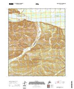
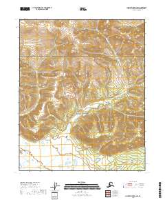
2018 Map of Charley River B-5 SE
USGS Topo · Published 2018About this map
The Yukon River dominates the northern reaches of this Alaskan interior landscape, flowing through a region defined by steep drainages and isolated outposts. Within the Yukon-Charley Rivers National Preserve, the settlement of Coal Creek and the adjacent Coal Creek Airport serve as central points in a terrain marked by historical mining and exploration. The network of waterways, including Pendergast Pup, Beaton Pup, and Boulder Cr, reflects the traditional naming conventions of northern placer mining districts. Land navigation is aided by the Coal Creek Lower Trail, which tracks toward the high ground of Slaven Dome. The southern portion of the map is characterized by the Mertie Mountains, where numerous small creeks like Ben Cr and Sam Cr carve deep valleys through the upland ridges.
Find a feature on this map
24 named features on this map. Tap any name to fly to it.
Don’t see what you’re looking for? This feature index may not catch every label — zoom into the map to look around manually.
Map Details
Editions of this 2018 Charley River B-5 SE Map
This is the sole edition of this map. No revisions or reprints were ever made.
Other maps of this area

1951 · Charley River
USGS Topo · 1:250,000

1956 · Charley River A-5
USGS Topo · 1:63,360

1956 · Charley River A-4
USGS Topo · 1:63,360

1956 · Charley River B-5
USGS Topo · 1:63,360

1956 · Charley River B-4
USGS Topo · 1:63,360

1956 · Charley River
USGS Topo · 1:250,000
2018 · Charley River B-5 SW
USGS Topo · 1:25,000
2018 · Charley River B-4 SW
USGS Topo · 1:25,000
2018 · Charley River B-5 NE
USGS Topo · 1:25,000
2018 · Charley River B-4 NW
USGS Topo · 1:25,000