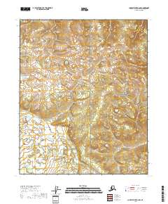
2018 Map of Charley River B-6 NW
USGS Topo · Published 2018About this map
Yukon-Charley Rivers National Preserve dominates this section of the Alaskan interior, showcasing a landscape defined by drainage patterns and remote elevation contours. The northern portion of the map is marked by the winding path of Takoma Cr, which flows through a region largely devoid of human infrastructure or established settlements. In the absence of roads or structures, the land is organized primarily by the Public Land Survey System, with township and range lines such as t8n r19e and t7n r18e providing the only human-imposed framework on the terrain. The map's detail focuses on the subtle variations in the subarctic environment, tracing the intricate hydrologic networks that feed into the larger Charley River system within this protected wilderness area.
Find a feature on this map
8 named features on this map. Tap any name to fly to it.
Don’t see what you’re looking for? This feature index may not catch every label — zoom into the map to look around manually.
Map Details
Editions of this 2018 Charley River B-6 NW Map
This is the sole edition of this map. No revisions or reprints were ever made.
Other maps of this area

1951 · Charley River
USGS Topo · 1:250,000

1951 · Circle
USGS Topo · 1:250,000

1955 · Circle B-1
USGS Topo · 1:63,360

1955 · Circle C-1
USGS Topo · 1:63,360

1955 · Circle
USGS Topo · 1:250,000

1956 · Charley River C-6
USGS Topo · 1:63,360

1956 · Charley River B-6
USGS Topo · 1:63,360

1956 · Charley River
USGS Topo · 1:250,000

1964 · Circle
USGS Topo · 1:250,000
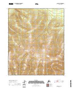
2018 · Circle B-1 SE
USGS Topo · 1:25,000