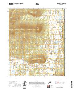
2018 Map of Charley River D-3 SE
USGS Topo · Published 2018About this map
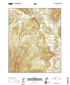
Draanjik River winds through this sub-arctic terrain in the Yukon-Koyukuk Census Area, defining the drainage patterns of a landscape marked by high-elevation ridges and deep river valleys. The hydrology of the region is further characterized by Van Hatten Cr, which traverses the southern portion of the quadrangle. This 2018 survey reveals a territory predominantly defined by its natural watercourses and significant topographic relief, with peaks rising between the river basins. The land is organized under the Public Land Survey System across Townships 11 and 12 North, specifically within Ranges 26 and 27 East, providing a structural framework for this remote Alaskan interior. The map illustrates the complex meandering of the Draanjik River as it creates numerous oxbows and secondary channels across the eastern lowland flats.
Find a feature on this map
6 named features on this map. Tap any name to fly to it.
Don’t see what you’re looking for? This feature index may not catch every label — zoom into the map to look around manually.
Map Details
Editions of this 2018 Charley River D-3 SE Map
This is the sole edition of this map. No revisions or reprints were ever made.
Other maps of this area

1951 · Charley River
USGS Topo · 1:250,000

1956 · Charley River C-2
USGS Topo · 1:63,360

1956 · Charley River D-3
USGS Topo · 1:63,360
1956 · Charley River C-3
USGS Topo · 1:63,360

1956 · Charley River D-2
USGS Topo · 1:63,360

1956 · Charley River
USGS Topo · 1:250,000
2018 · Charley River C-3 NW
USGS Topo · 1:25,000
2018 · Charley River D-2 SW
USGS Topo · 1:25,000
2018 · Charley River D-3 NE
USGS Topo · 1:25,000
2018 · Charley River D-2 NW
USGS Topo · 1:25,000