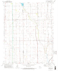
1971 Map of Charter Oak
USGS Topo · Published 1973About this map
Charter Oak sits at the center of this agricultural landscape in Missouri’s Bootheel, a region defined by its intensive drainage and irrigation systems. The map illustrates a transition from the era of timber and rail to modern industrial farming, marked by the presence of an Old Railroad Grade and numerous agricultural wells scattered across Big Prairie and the Elk township. The community’s social fabric is anchored by rural institutions like Big Ridge Sch, Big Ridge Ch, and the Pilgrim Rest Ch, which serve the families working the fertile lands between the Little River and Otter Slough Ditch. Along the southern boundary near Simmons Cem, the transition between Stoddard and New Madrid counties is clearly delineated, showing a landscape almost entirely converted to productive use, including commercial Fish Ponds.
Find a feature on this map
17 named features on this map. Tap any name to fly to it.
Don’t see what you’re looking for? This feature index may not catch every label — zoom into the map to look around manually.
Map Details
Editions of this 1971 Charter Oak Map
2 editions found
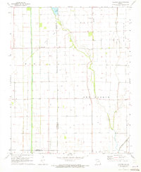
Other maps of this area

1931 · Sikeston
USGS Topo · 1:62,500

1934 · Bloomfield
USGS Topo · 1:62,500

1934 · Sikeston
USGS Topo · 1:62,500

1939 · Bloomfield
USGS Topo · 1:62,500

1939 · Sikeston
USGS Topo · 1:62,500

1939 · New Madrid
USGS Topo · 1:62,500

1940 · Malden
USGS Topo · 1:62,500

1949 · Bloomfield
USGS Topo · 1:62,500

1951 · New Madrid SE
USGS Topo · 1:24,000

1954 · New Madrid
USGS Topo · 1:62,500