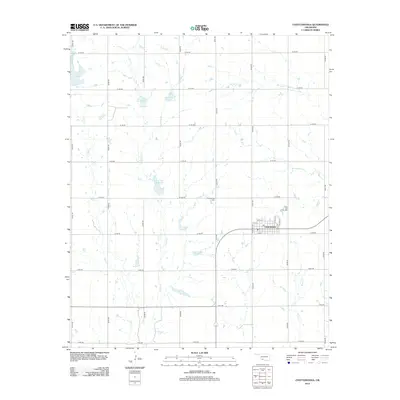
2012 Map of Chattanooga
USGS Topo · Published 2012About this map
The town of Chattanooga serves as the central hub of this southwestern Oklahoma landscape, defined by a grid of rural roads and an extensive network of water management sites. The agricultural character of the region is evident in the numerous reservoirs, such as Jack Cr Site 9 Reservoir and the multiple Jack Cr Site 2a Reservoir pools, which dot the drainage basins of Jack Cr and E Jack Cr. These features reflect the region's long-standing focus on water conservation and soil management in the prairie landscape.
Find a feature on this map
37 named features on this map. Tap any name to fly to it.
Don’t see what you’re looking for? This feature index may not catch every label — zoom into the map to look around manually.
Map Details
Editions of this 2012 Chattanooga Map
This is the sole edition of this map. No revisions or reprints were ever made.
Other maps of this area
1937 · Cache
USGS Topo · 1:48,000
1942 · Cache
USGS Topo · 1:62,500
1950 · Snyder
USGS Topo · 1:62,500

1955 · Lawton
USGS Topo · 1:250,000
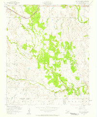
1956 · Post Oak Creek
USGS Topo · 1:24,000
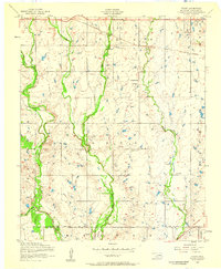
1956 · Taupa
USGS Topo · 1:24,000
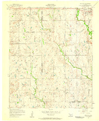
1956 · Indiahoma
USGS Topo · 1:24,000
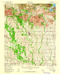
1956 · Cache
USGS Topo · 1:62,500
1956 · Snyder
USGS Topo · 1:62,500
1962 · Chattanooga
USGS Topo · 1:62,500