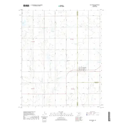
2018 Map of Chattanooga
USGS Topo · Published 2018About this map
Chattanooga serves as the primary hub of this landscape, situated at the intersection of a vast grid of section roads and the triple-border of Comanche, Tillman, and Cotton Counties. The town's layout is defined by named streets like Washington Ave and Jefferson Ave, with the Chattanooga Cem located just to the northwest. This 2018 survey reveals a modern rural environment where water management is critical, evidenced by a series of engineered catchments including Jack Cr Site 2a Reservoir, Jack Cr Site 2b Reservoir, and Jack Cr Site 9 Reservoir along the drainage of Jack Cr. Away from the town center, the landscape is segmented by creeks such as Spring Cr and Brush Cr, illustrating the agrarian character of this Southwest Oklahoma region near the end of the second decade of the 21st century.
Find a feature on this map
57 named features on this map. Tap any name to fly to it.
Don’t see what you’re looking for? This feature index may not catch every label — zoom into the map to look around manually.
Map Details
Editions of this 2018 Chattanooga Map
This is the sole edition of this map. No revisions or reprints were ever made.
Other maps of this area

1937 · Cache
USGS Topo · 1:48,000

1942 · Cache
USGS Topo · 1:62,500

1950 · Snyder
USGS Topo · 1:62,500

1955 · Lawton
USGS Topo · 1:250,000

1956 · Post Oak Creek
USGS Topo · 1:24,000
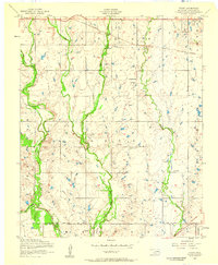
1956 · Taupa
USGS Topo · 1:24,000

1956 · Indiahoma
USGS Topo · 1:24,000
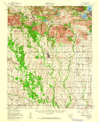
1956 · Cache
USGS Topo · 1:62,500

1956 · Snyder
USGS Topo · 1:62,500

1962 · Chattanooga
USGS Topo · 1:62,500