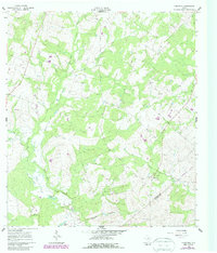
1960 Map of Cheapside
USGS Topo · Published 1987About this map
Cheapside sits at the heart of this landscape where the Gonzales Co De Witt Co line forms an Indefinite Boundary through the south-central Texas countryside. The area is defined by a dense network of watercourses, including Five Mile Creek, Brushy Creek, and Sandies Creek, which feed into local landmarks like Five Mile Lake and Hickory Lake. Evidence of local industry and natural resources is scattered throughout the terrain, noted by several Oil Wells and a Quarry in the western reaches.
Find a feature on this map
21 named features on this map. Tap any name to fly to it.
Don’t see what you’re looking for? This feature index may not catch every label — zoom into the map to look around manually.
Map Details
Editions of this 1960 Cheapside Map
2 editions found
Other maps of this area

1920 · Smiley
USGS Topo · 1:125,000

1953 · Seguin
USGS Topo · 1:250,000

1958 · Seguin
USGS Topo · 1:250,000

1959 · Cost
USGS Topo · 1:24,000

1959 · Hochheim
USGS Topo · 1:24,000

1959 · Gonzales South
USGS Topo · 1:24,000

1959 · Hamon
USGS Topo · 1:24,000

1960 · Concrete
USGS Topo · 1:24,000

1960 · Cheapside
USGS Topo · 1:24,000

1960 · Westhoff
USGS Topo · 1:24,000