
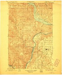
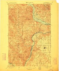
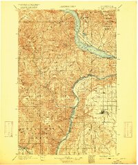
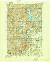
1901 Map of Chelan
USGS Topo · Published 1901About this map
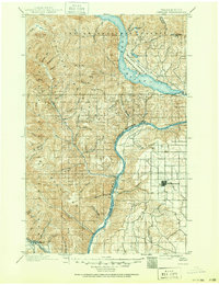
The rugged topography of the North Cascades meets the high plateau of the Columbia Basin in this 1901 survey. The deep waters of Lake Chelan dominate the northern landscape, where the Wapato Indian Reservation and the Washington Forest Reserve share a boundary. Settlement patterns are clearly divided by the terrain: early lakeside communities like Chelan and Lakeside contrast with the grid-iron townsite of Waterville on the southeastern plateau. Along the banks of the Columbia River, small outposts such as Entiat, Orondo, and Troy mark the river economy before the age of major dams. The Great Northern railway skirts the southern edge along the Wenatchee River, providing a vital link to the outside world. This map captures the region when travel was still dictated by the formidable Chelan Range and the steep descents of Navarre Coulee and Knapp Coulee.
Find a feature on this map
38 named features on this map. Tap any name to fly to it.
Don’t see what you’re looking for? This feature index may not catch every label — zoom into the map to look around manually.
Map Details
Editions of this 1901 Chelan Map
6 editions found
Other maps of this area

1897 · Mount Stuart
USGS Topo · 1:125,000

1899 · Methow
USGS Topo · 1:125,000

1901 · Methow
USGS Topo · 1:125,000

1901 · Chiwaukum
USGS Topo · 1:125,000

1902 · Mount Stuart
USGS Topo · 1:125,000

1902 · Stehekin
USGS Topo · 1:125,000

1904 · Stehekin
USGS Topo · 1:125,000

1904 · Chiwaukum
USGS Topo · 1:125,000

1905 · Okanogan
USGS Topo · 1:125,000

1912 · Malaga
USGS Topo · 1:48,000