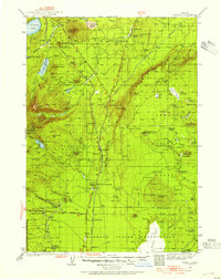
1935 Map of Chemult
USGS Topo · Published 1954About this map
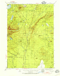
Chemult serves as a central hub for the Southern Pacific and Great Northern railroads in this mid-1930s survey of south-central Oregon. The landscape is defined by the volcanic topography of the eastern Cascades, with numerous peaks such as Walker Mtn, Odell Butte, and Miller Mtn rising above the high plateau. The timber economy of the era is evident through the presence of Lumber Camp 1 and Lumber Camp 2 in the southwestern corner, while the vast southern section belongs to the Klamath Indian Reservation. Numerous natural springs and basins like Rabbit Basin and Sellers Marsh support small cattle operations at locations such as Knott Ranch and Parker Ranch. The map captures a moment when travel through the region relied heavily on The Dalles California Highway and a network of mountain stations including Mowich and Yamsay Sta.
Find a feature on this map
108 named features on this map. Tap any name to fly to it.
Don’t see what you’re looking for? This feature index may not catch every label — zoom into the map to look around manually.
Map Details
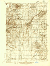
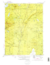
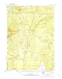
Editions of this 1935 Chemult Map
5 editions found
Other maps of this area

1889 · Klamath
USGS Topo · 1:250,000

1891 · Ashland
USGS Topo · 1:250,000

1893 · Ashland
USGS Topo · 1:250,000

1894 · Klamath
USGS Topo · 1:250,000

1897 · Ashland
USGS Topo · 1:250,000

1917 · Diamond Lake
USGS Topo · 1:125,000

1925 · Waldo Lake
USGS Topo · 1:125,000

1930 · Maiden Peak
USGS Topo · 1:125,000

1931 · Newberry Crater
USGS Topo · 1:125,000

1934 · Maiden Peak
USGS Topo · 1:125,000