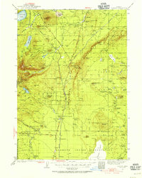
1935 Map of Chemult
USGS Topo · Published 1955About this map
Chemult serves as a central junction in this high-altitude landscape where the Southern Pacific RR and Great Northern RR parallel the Dalles-California Highway. The area is defined by volcanic features and large meadows, such as Round Meadow and Sproats Meadow, which support various early ranching outposts like Hoey Ranch and Jamison Ranch. The eastern half of the map is dominated by the Walker Rim escarpment, rising toward Walker Mtn, while the western edge reveals the headwaters of the Rogue River and Little Deschutes River. This survey captures the region during a period of active timber and rail transit, noting several remote stations and camps such as Diamond Lake Sta and Lumber Camp 2. The southern portion contains a significant section of the Klamath Indian Reservation, highlighting its historical boundaries before later administrative changes.
Find a feature on this map
118 named features on this map. Tap any name to fly to it.
Don’t see what you’re looking for? This feature index may not catch every label — zoom into the map to look around manually.
Map Details
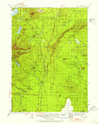
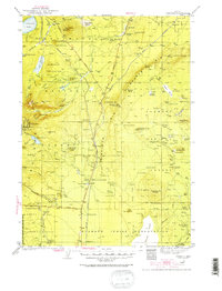
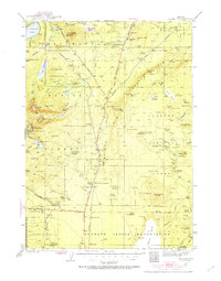
Editions of this 1935 Chemult Map
5 editions found

Other maps of this area

1889 · Klamath
USGS Topo · 1:250,000

1891 · Ashland
USGS Topo · 1:250,000

1893 · Ashland
USGS Topo · 1:250,000

1894 · Klamath
USGS Topo · 1:250,000

1897 · Ashland
USGS Topo · 1:250,000

1917 · Diamond Lake
USGS Topo · 1:125,000

1925 · Waldo Lake
USGS Topo · 1:125,000

1930 · Maiden Peak
USGS Topo · 1:125,000

1931 · Newberry Crater
USGS Topo · 1:125,000

1934 · Maiden Peak
USGS Topo · 1:125,000