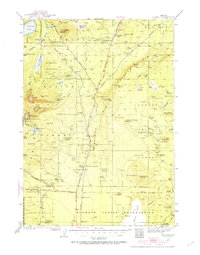
1935 Map of Chemult
USGS Topo · Published 1955About this map
Chemult and its surrounding high-desert plateau are defined here by a massive intersection of industrial and natural boundaries. In the mid-1930s, the Southern Pacific and Great Northern railroads converge near the town, carving through the timbered reaches of the Deschutes National Forest and the Klamath Indian Reservation. This period shows the region's reliance on forestry and transit, with operations like Lumber Camp 2 and Lumber Camp 1 positioned along the rail lines. The landscape is dominated by volcanic features like the massive Walker Rim and several fire lookouts, including Walker Mtn Lookout and Skookum Butte Lookout. From the waters of Miller Lake to the scattered homesteads at Knot Ranch and Parker Ranch, the map captures a pivotal era of timber extraction and mountain navigation in Central Oregon.
Find a feature on this map
114 named features on this map. Tap any name to fly to it.
Don’t see what you’re looking for? This feature index may not catch every label — zoom into the map to look around manually.
Map Details
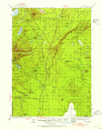
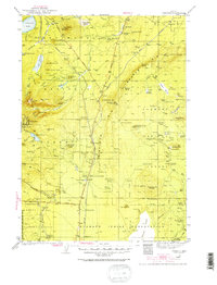
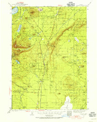
Editions of this 1935 Chemult Map
5 editions found

Other maps of this area

1889 · Klamath
USGS Topo · 1:250,000

1891 · Ashland
USGS Topo · 1:250,000

1893 · Ashland
USGS Topo · 1:250,000

1894 · Klamath
USGS Topo · 1:250,000

1897 · Ashland
USGS Topo · 1:250,000

1917 · Diamond Lake
USGS Topo · 1:125,000

1925 · Waldo Lake
USGS Topo · 1:125,000

1930 · Maiden Peak
USGS Topo · 1:125,000

1931 · Newberry Crater
USGS Topo · 1:125,000

1934 · Maiden Peak
USGS Topo · 1:125,000