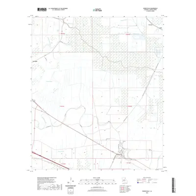
2020 Map of Cheneyville
USGS Topo · Published 2020About this map
Cheneyville serves as a central hub in this Rapides Parish landscape, where the irregular path of Bayou Boeuf dictates the local geography and road network. The map reveals a transition from dense agricultural grid patterns to the intricate wetlands of the Louisiana interior. In the south, the settlement of Cheneyville is anchored by its local street grid, including Front St and Jefferson Hwy, while the surrounding countryside is dotted with significant family and community landmarks such as Stafford Cem and Christians Cem. Moving north toward Lecompte, the terrain is defined by a complex drainage system of smaller waterways like Rattlesnake Bayou, Calohan Bayou, and Bayou Pompey. This 2020 survey captures the persistent relationship between these historic bayou corridors and the modern infrastructure that follows their banks, providing a clear view of the parish's rural character.
Find a feature on this map
37 named features on this map. Tap any name to fly to it.
Don’t see what you’re looking for? This feature index may not catch every label — zoom into the map to look around manually.
Map Details
Editions of this 2020 Cheneyville Map
This is the sole edition of this map. No revisions or reprints were ever made.
Other maps of this area

1935 · Turkey Creek
USGS Topo · 1:62,500

1935 · Lecompte
USGS Topo · 1:62,500

1940 · Marksville
USGS Topo · 1:62,500

1948 · Bunkie
USGS Topo · 1:62,500

1949 · Turkey Creek
USGS Topo · 1:62,500

1952 · Lake Charles
USGS Topo · 1:250,000

1953 · Alexandria
USGS Topo · 1:250,000

1954 · Lake Charles
USGS Topo · 1:250,000

1955 · Alexandria
USGS Topo · 1:250,000

1957 · Lecompte
USGS Topo · 1:62,500